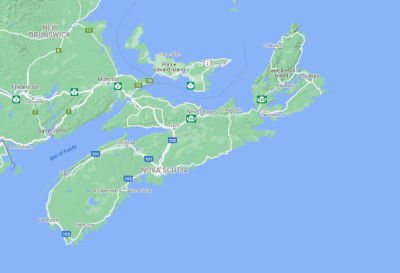
Nova Scotia Sept 2021
I visited Nova Scotia to cycle the Cabot Trail and visit some points of geological interest. Here's the highlights. All the photos below are low-res thumbnails. Click them to enlarge see the beauty.
Cabot Trail
The Cabot Trail winds around and over Cape Breton and through the Cape Breton Highlands National Park. I followed a self-guided tour operated by Pedal and Sea Adventures. They provided the bicycle, drove me from Halifax and back, made lodging reservations for each night, and moved my luggage from place to place. All I had to do was ride.
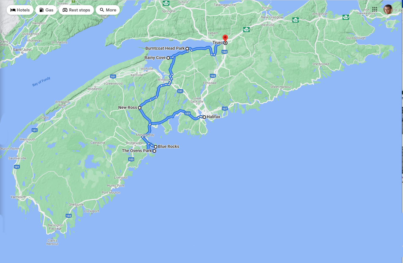
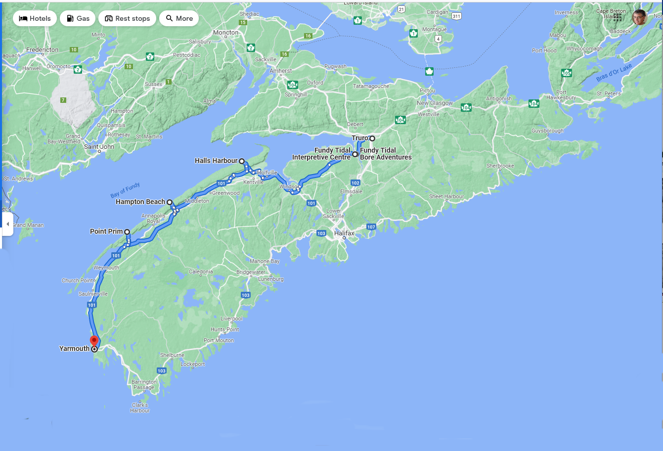
Here's my route:
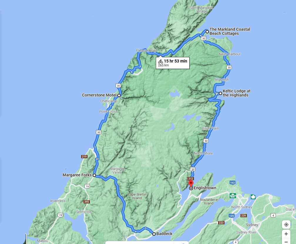
click to enlarge
The Google estimates of riding duration are pretty good, but my actual travel time was about double that with stops to look at the scenery and of course eat. My average moving speed was about 16 kmh, with a top speed of 63 kmh on the downhill. The hard day was day three. Cornerstone to Pleasant Bay includes climbing French Mountain (400 meters) and North Mountain (also about 400 meters).
Pictures from the ride
Click any image to enlarge.
-
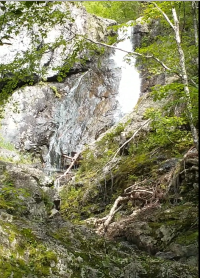
- Uisge Ban (Gaelic for "White Water") Falls. A detour on the ride from Baddeck to Margaree. Click to see movie.
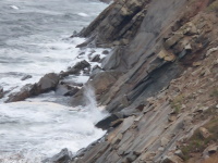
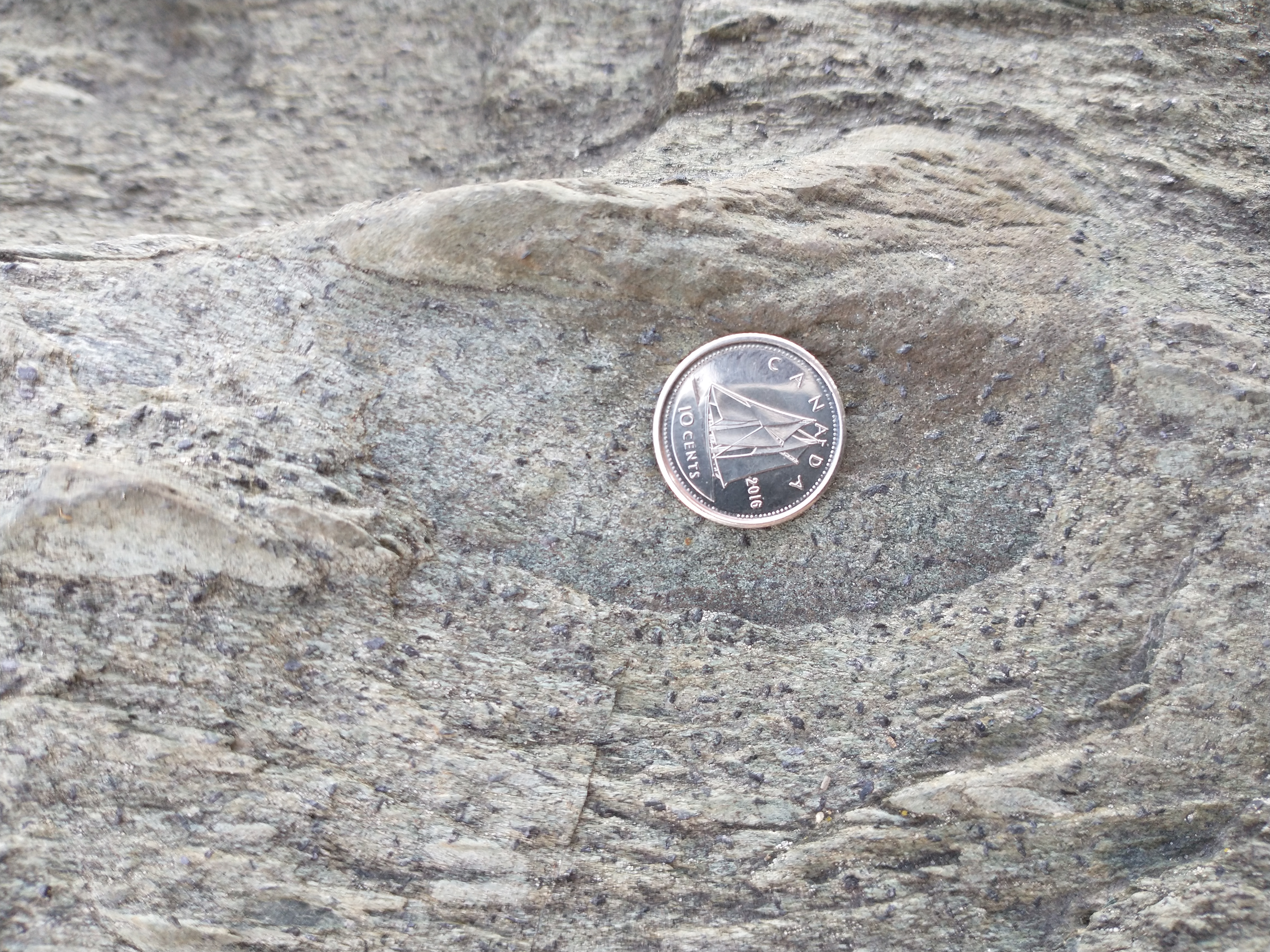
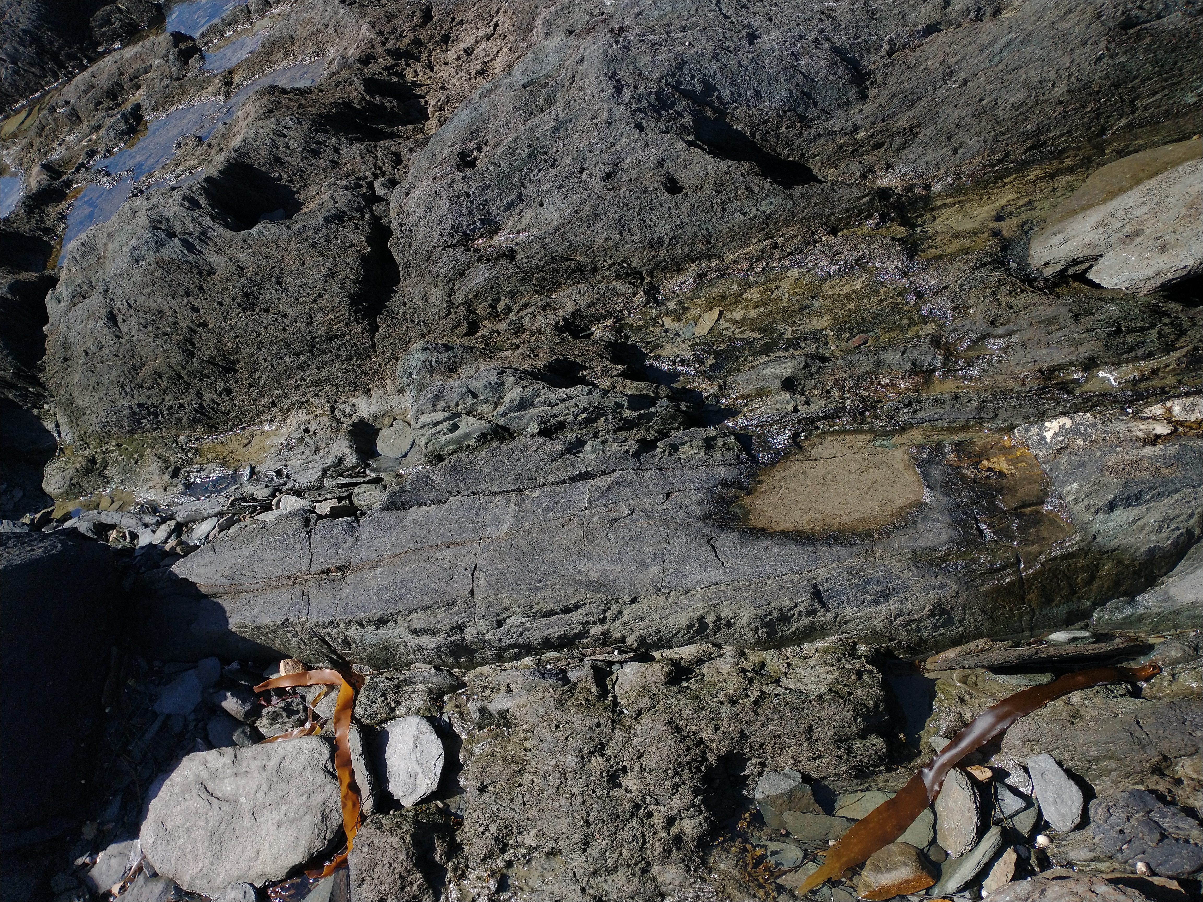
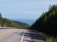
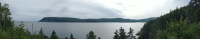
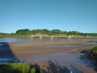
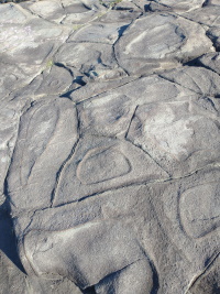
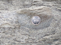
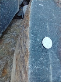
- On the second day of the ride I reached the ocean. Steeply tilted rock at land's edge. As per my guidebook this is sandstone.
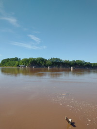
- On the third day, entering the Park for the first time. (movie)
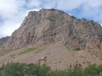
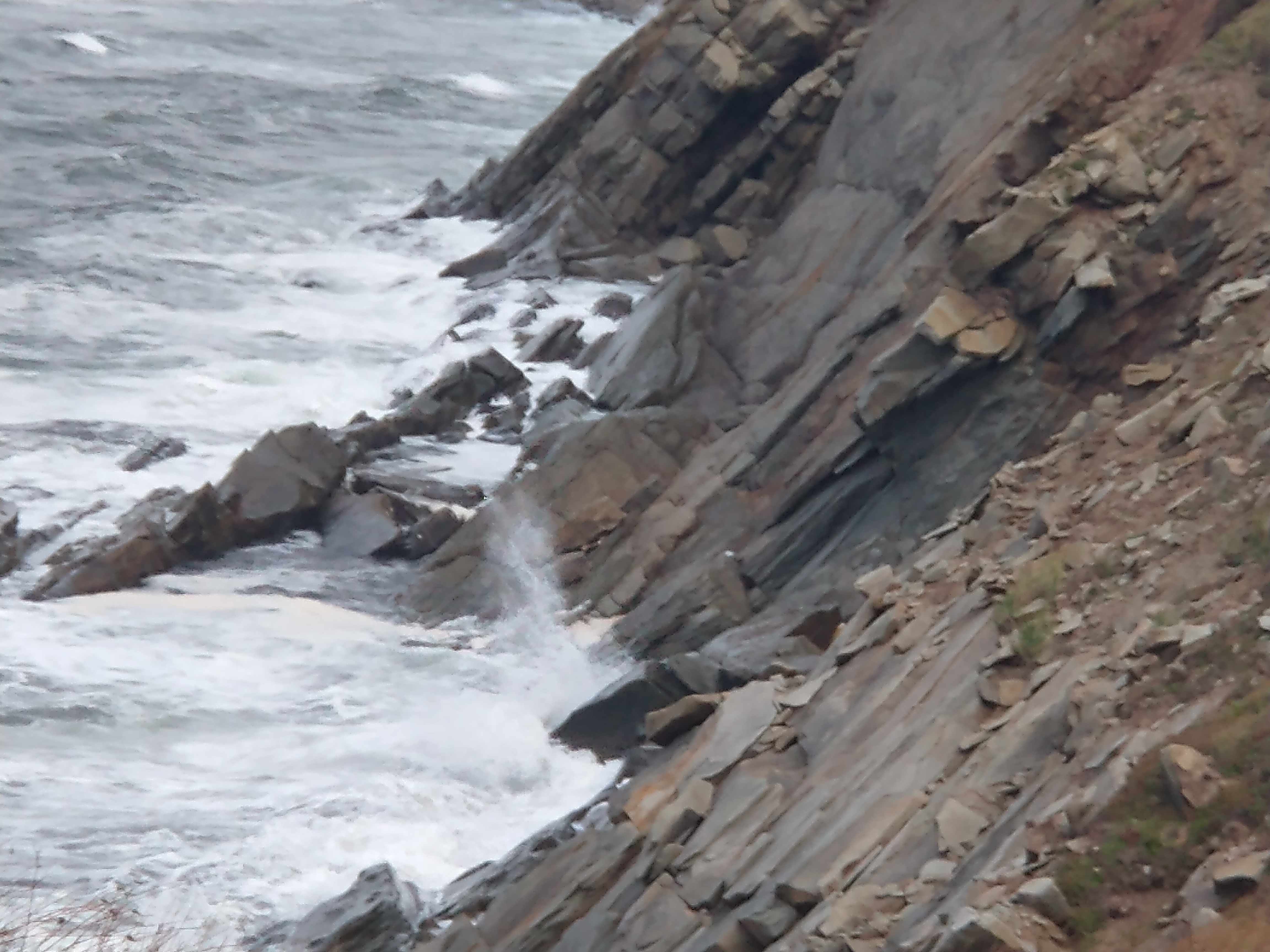
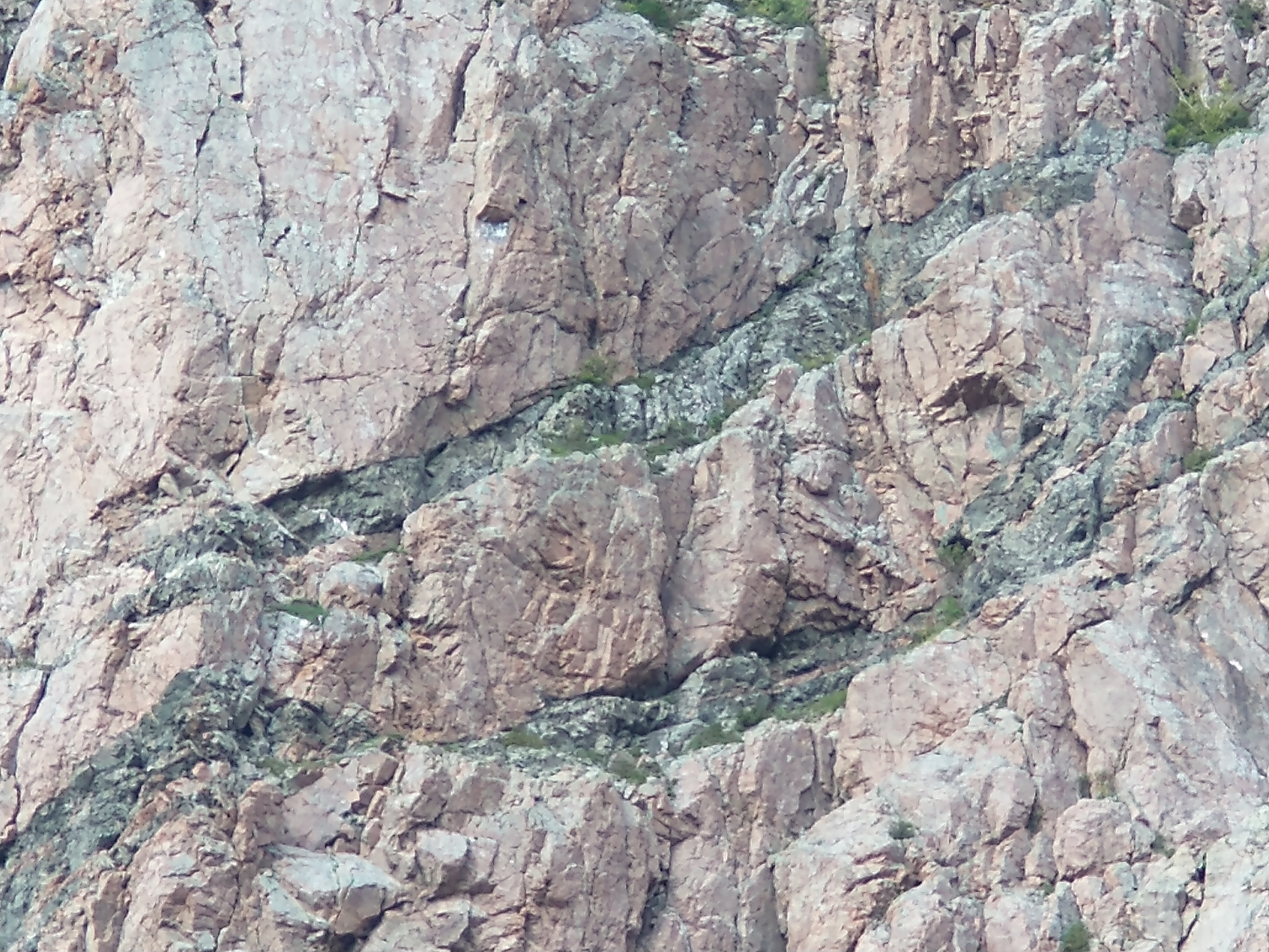
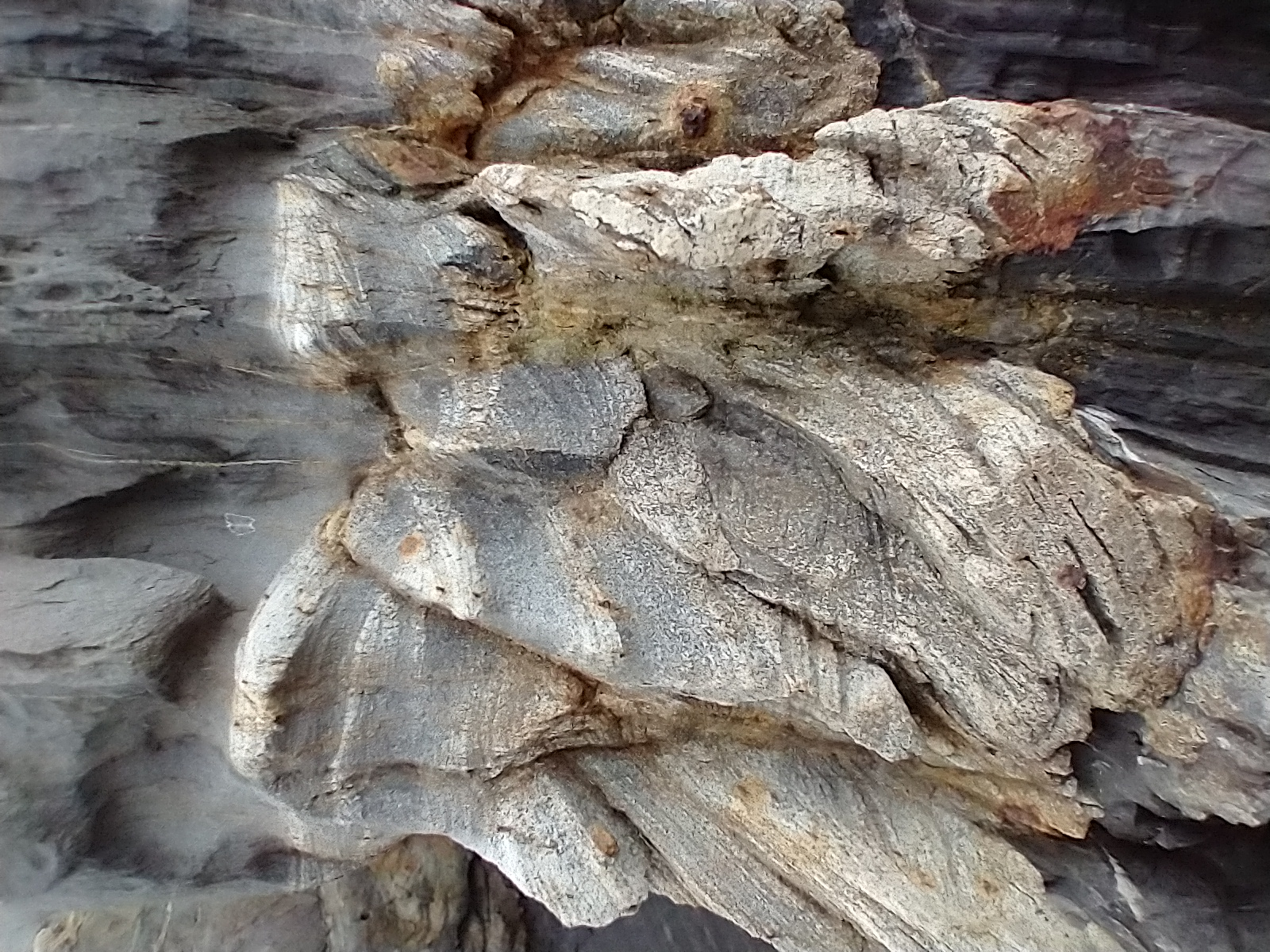
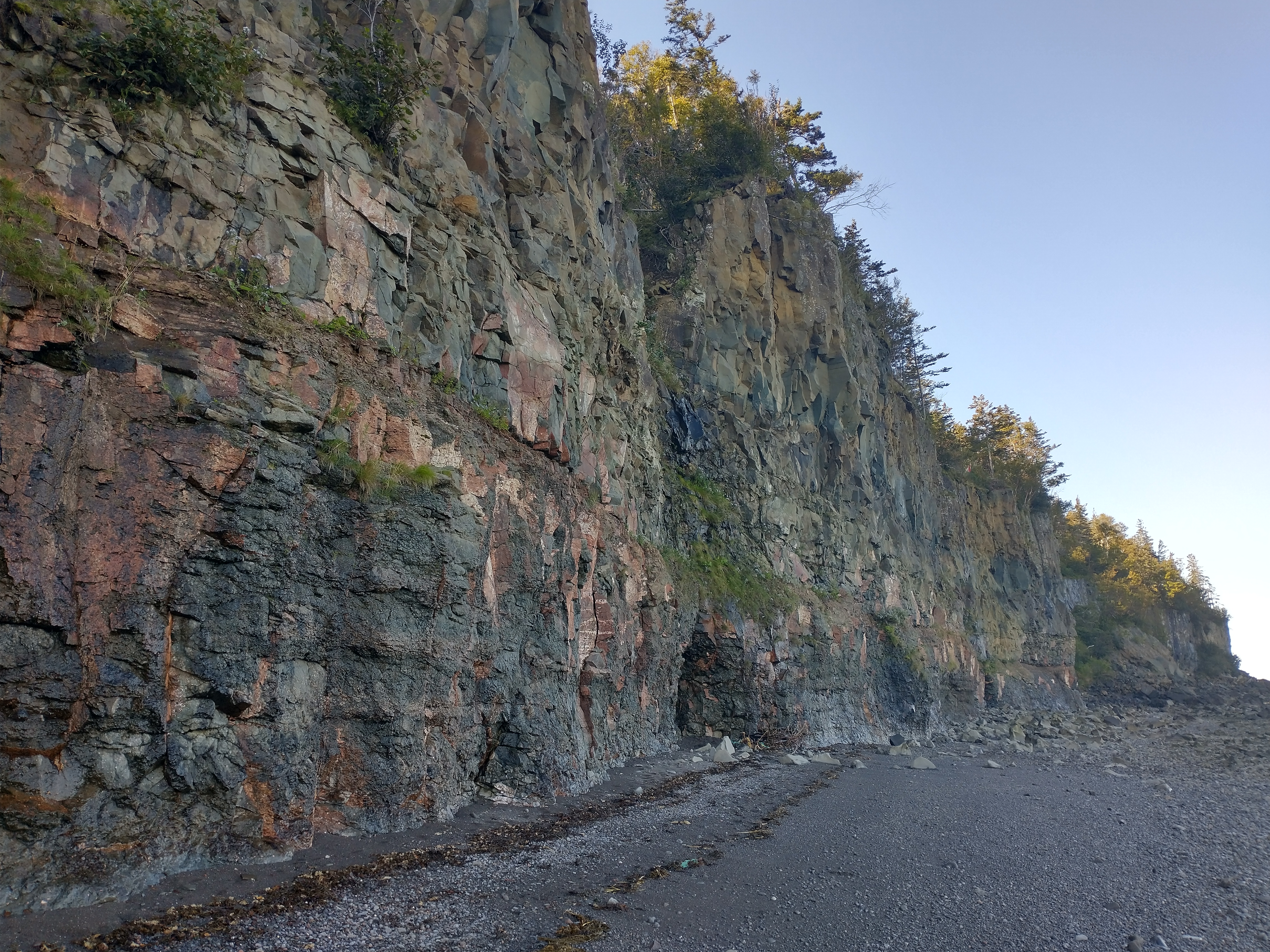
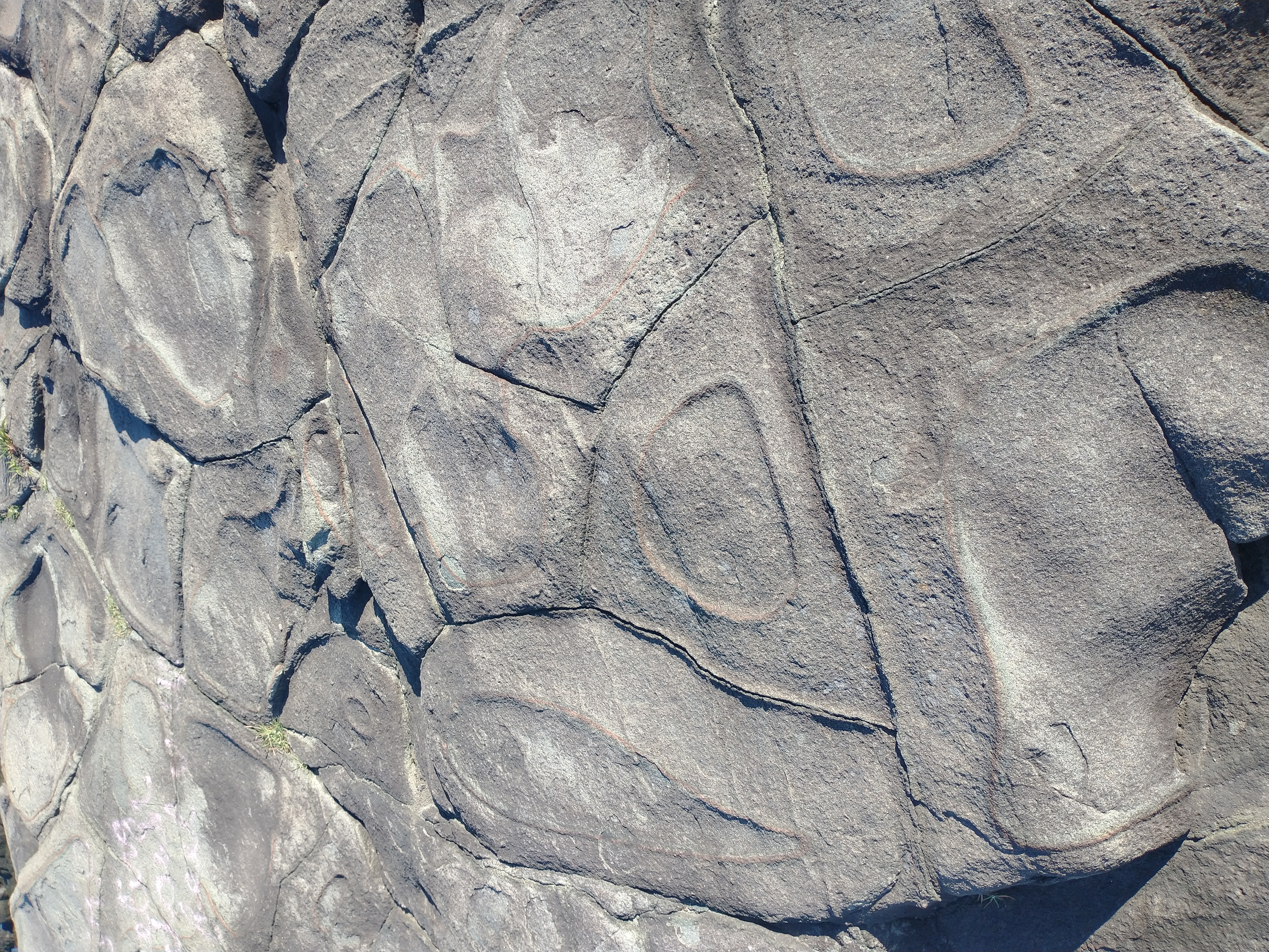
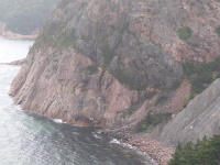
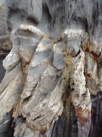
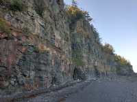
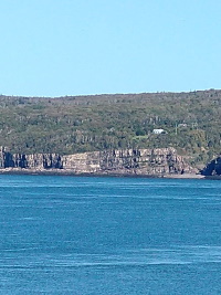
- Grand Falaise (Great Cliff). Thrust faults pushed older granite over the top of newer basalt.

- detail of Grand Falaise, showing basalt dykes that intruded into the granite.
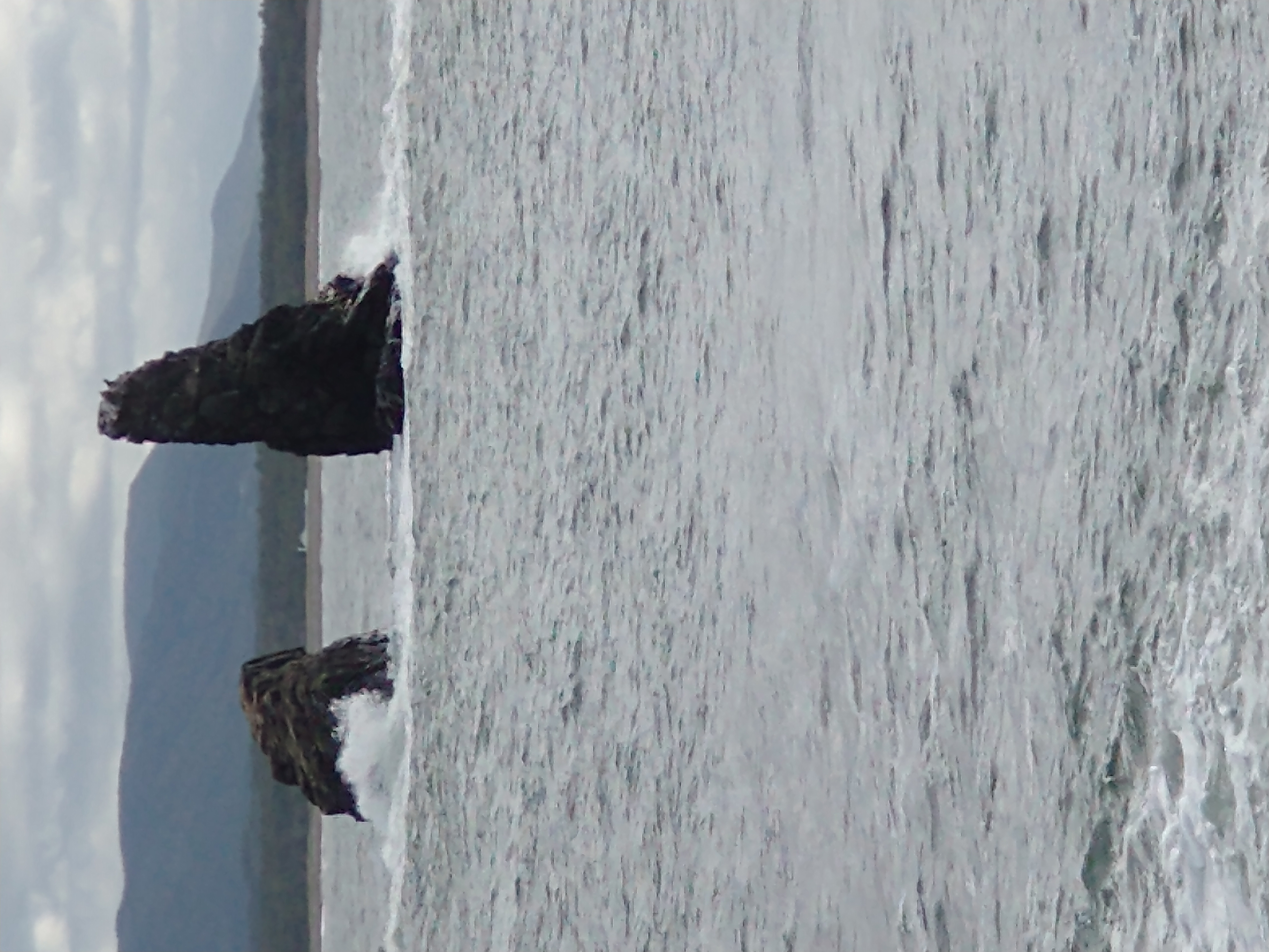
- tough basalt pillars, just past Grand Falaise. Just after this I began to climb French Mountain.
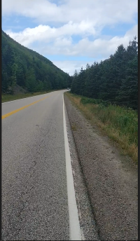
- The view from the top of French Mountain. This was a tough climb. After this, I descended to Pleasant Bay, ate lunch, then climbed North Mountain, which was even tougher. I had to walk some of it. On the far side of North Mountain lies the massive Aspy Fault, but I have no good picture of it.
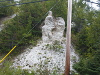
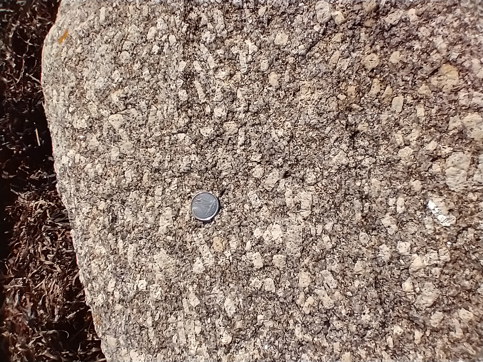
- a remnant of the Windor Sea, where a salty sea dried up leaving gypsum, still minted in Nova Scotia. This outcrop is in Cape Breton, but most of it is in the central mainland.
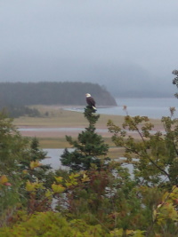
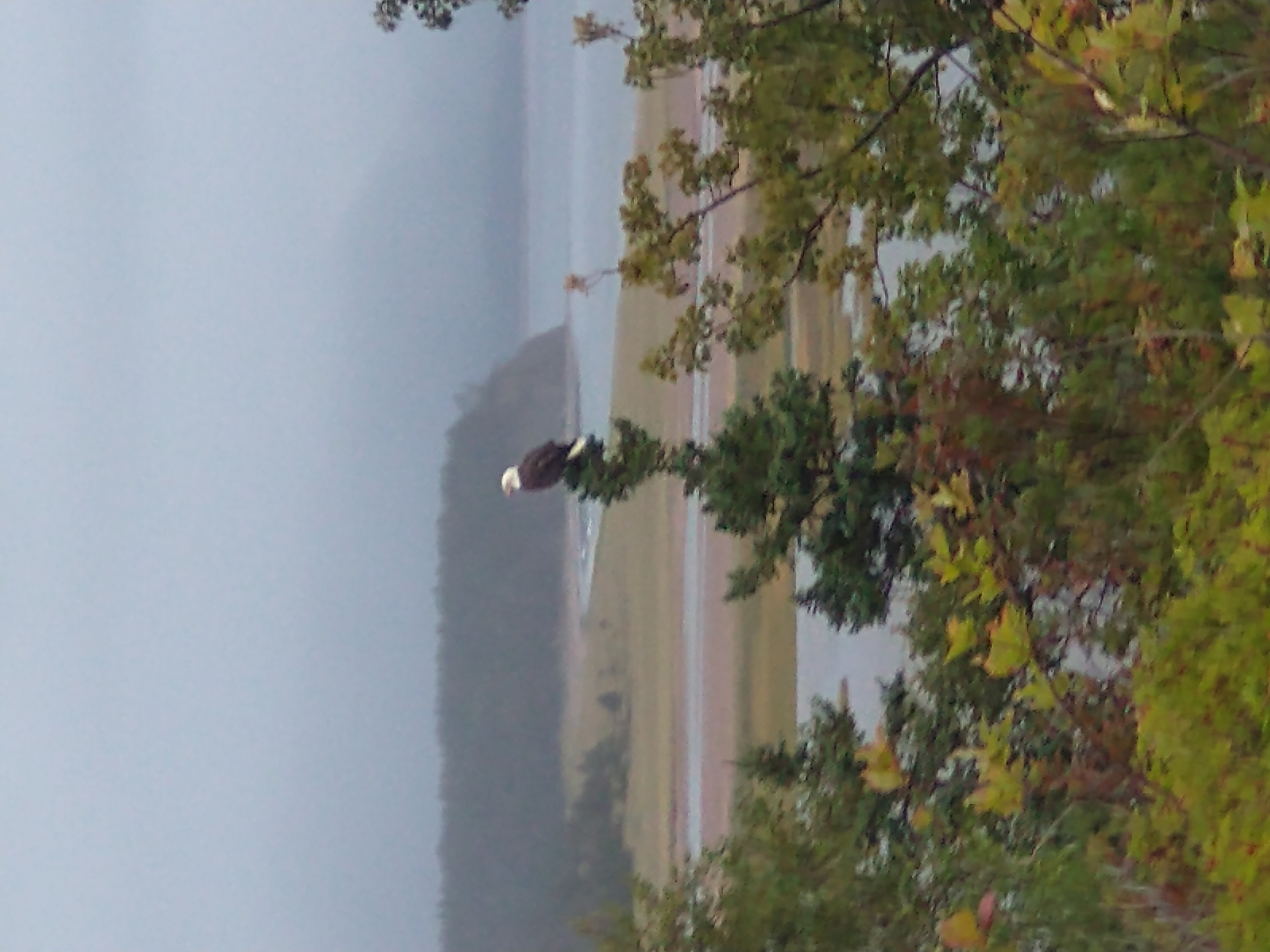
- Bald Eagle. I saw a lot more on the Shudencadie River.
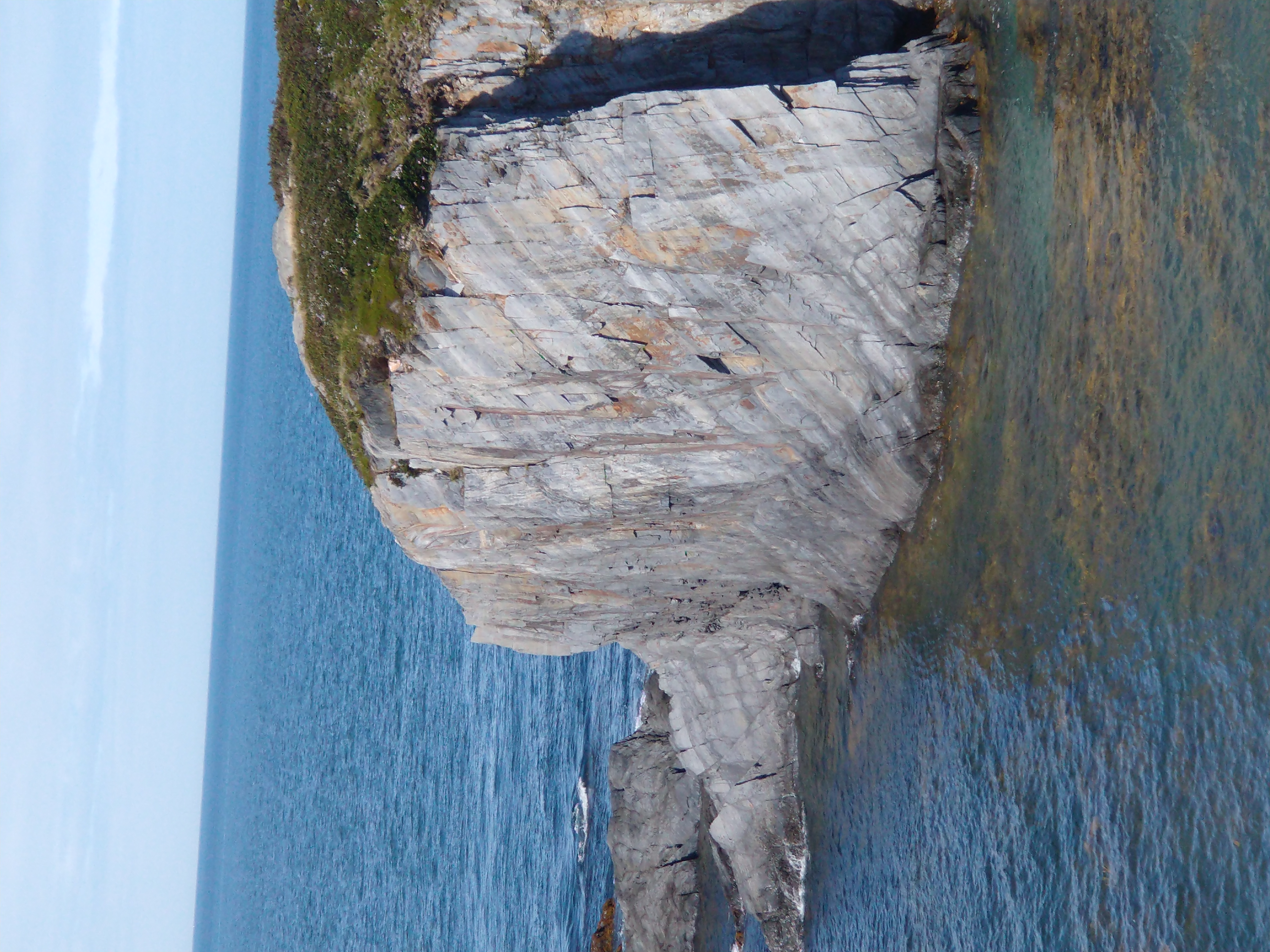
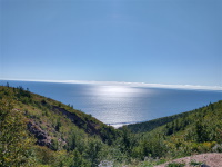
- White Point
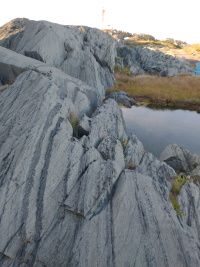
- another fault, on the way to Middle Head.

- Middle Head, in Ingonosh, from the trail at Keltic Lodge
- Cape Smokey panorama, from Middle Head in Ingonish. The next day I rode up that mountain.
- and here's the view from the other side.
Mainland Nova Scotia
My geological guidebook was Geology of Nova Scotia by Martha H Hild and Sandra Barr. Almost everything I saw on Cape Breton was from the terrane called Ganderia, which is also found in Newfoundland. The mainland is mostly Meguma.
Halifax to Lunenberg to Truro
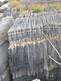
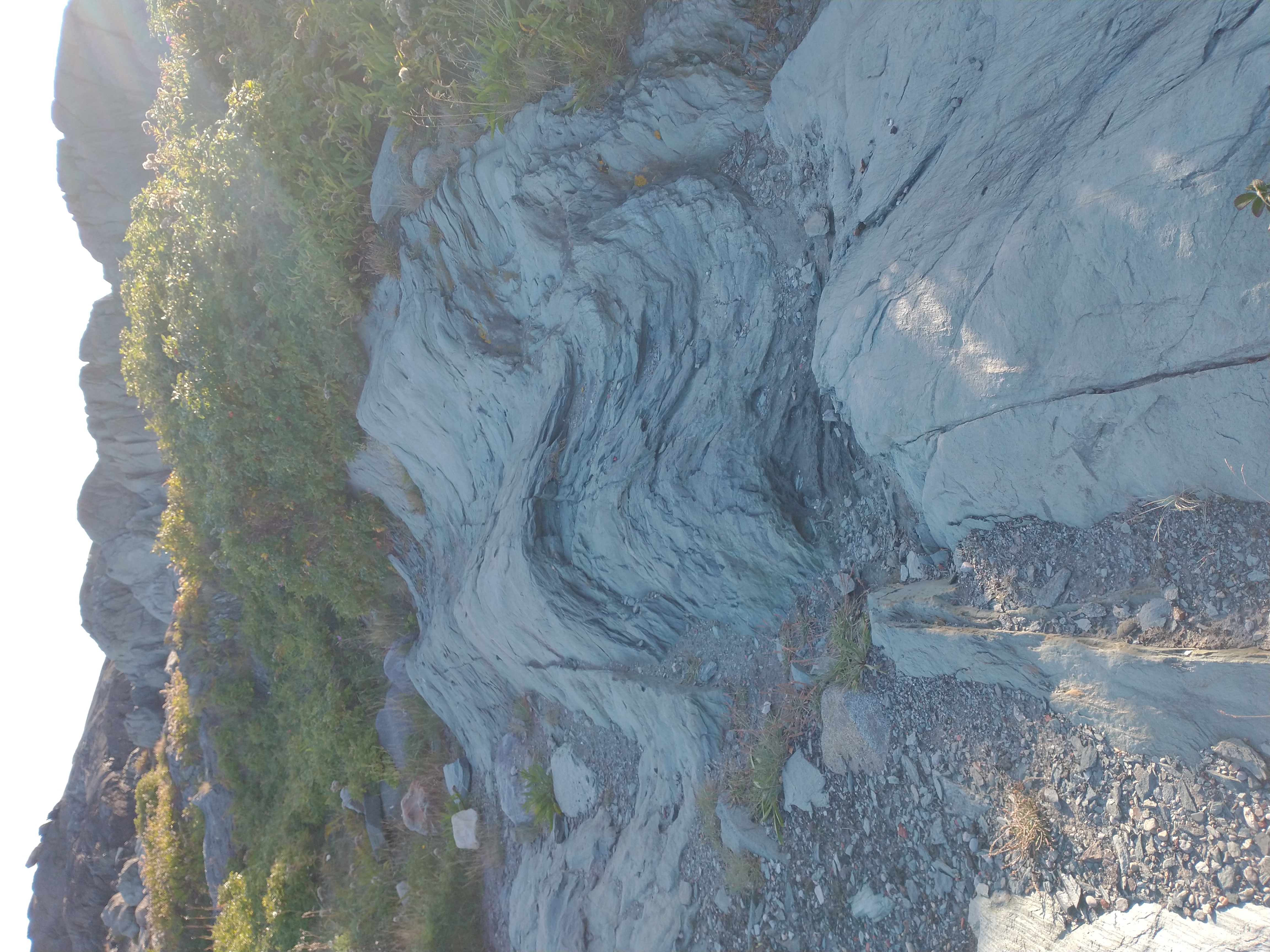
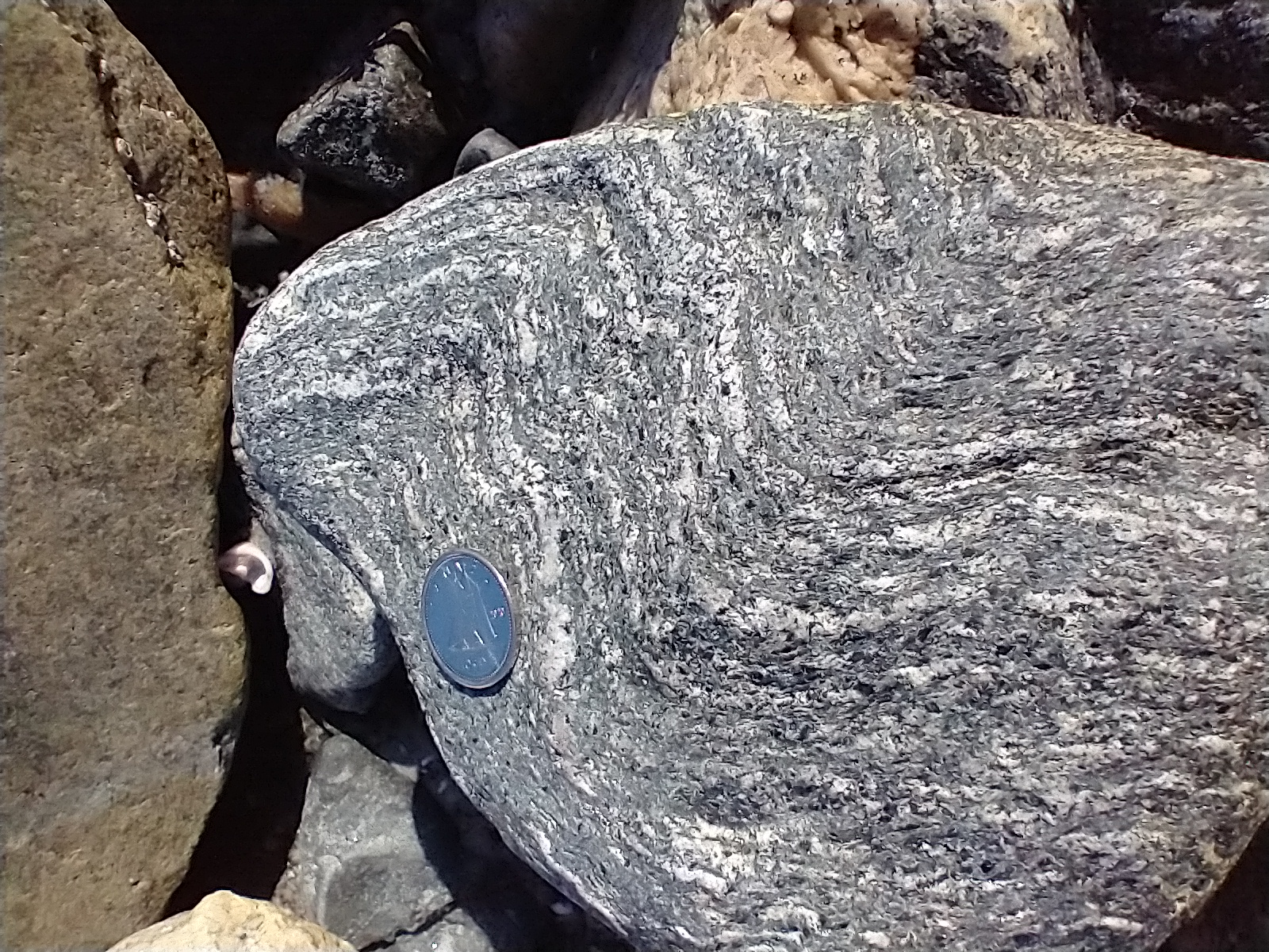
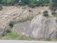
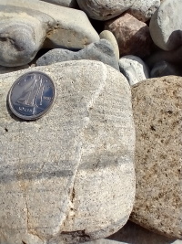
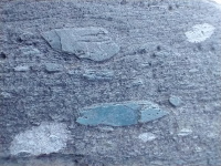
- Blue Rocks. layers of mudstone and sandstone were laid down flat, then squeezed hard horizontally, giving the rock a foliated appearance.
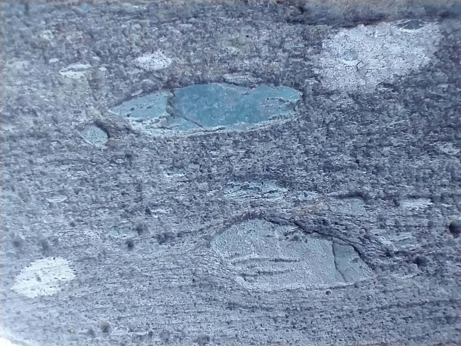
- Close up showing crossbedding in the sandstone. This reveals ancient currents in the water when the sand was deposited.
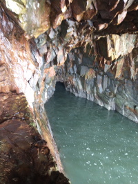
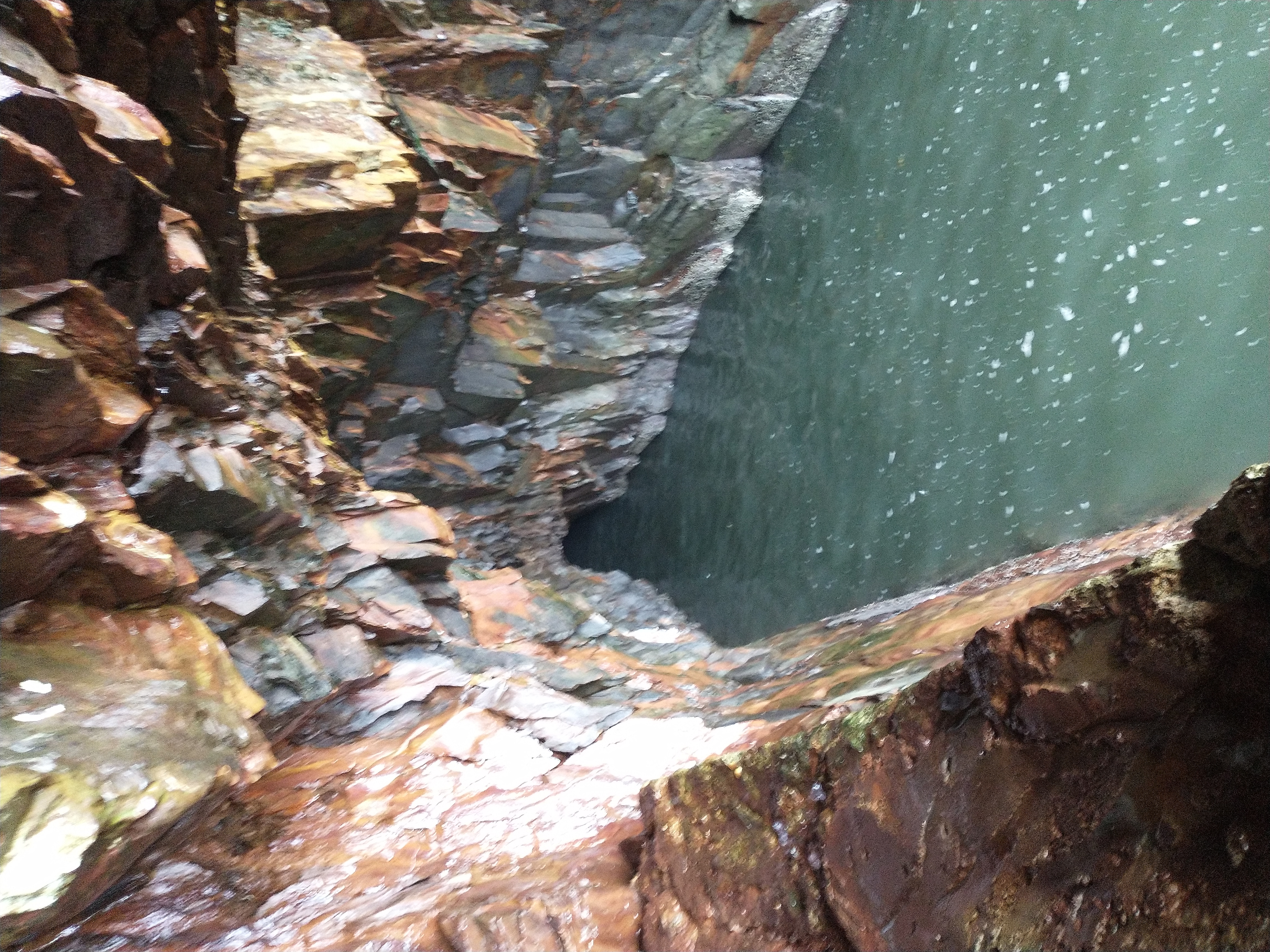
- at the Ovens Nature Park the same mudstone that is horizonal at Blue Rocks is now tipped nearly to vertical. There are sea caves. When the waves are just right, it compresses the air in the cave which then explodes in a loud but very low pitched boom, more like a feeling than a sound.

- a microfault.
The Ovens Nature Park
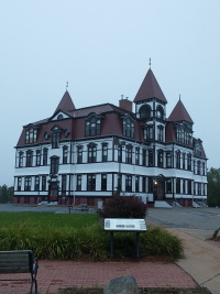
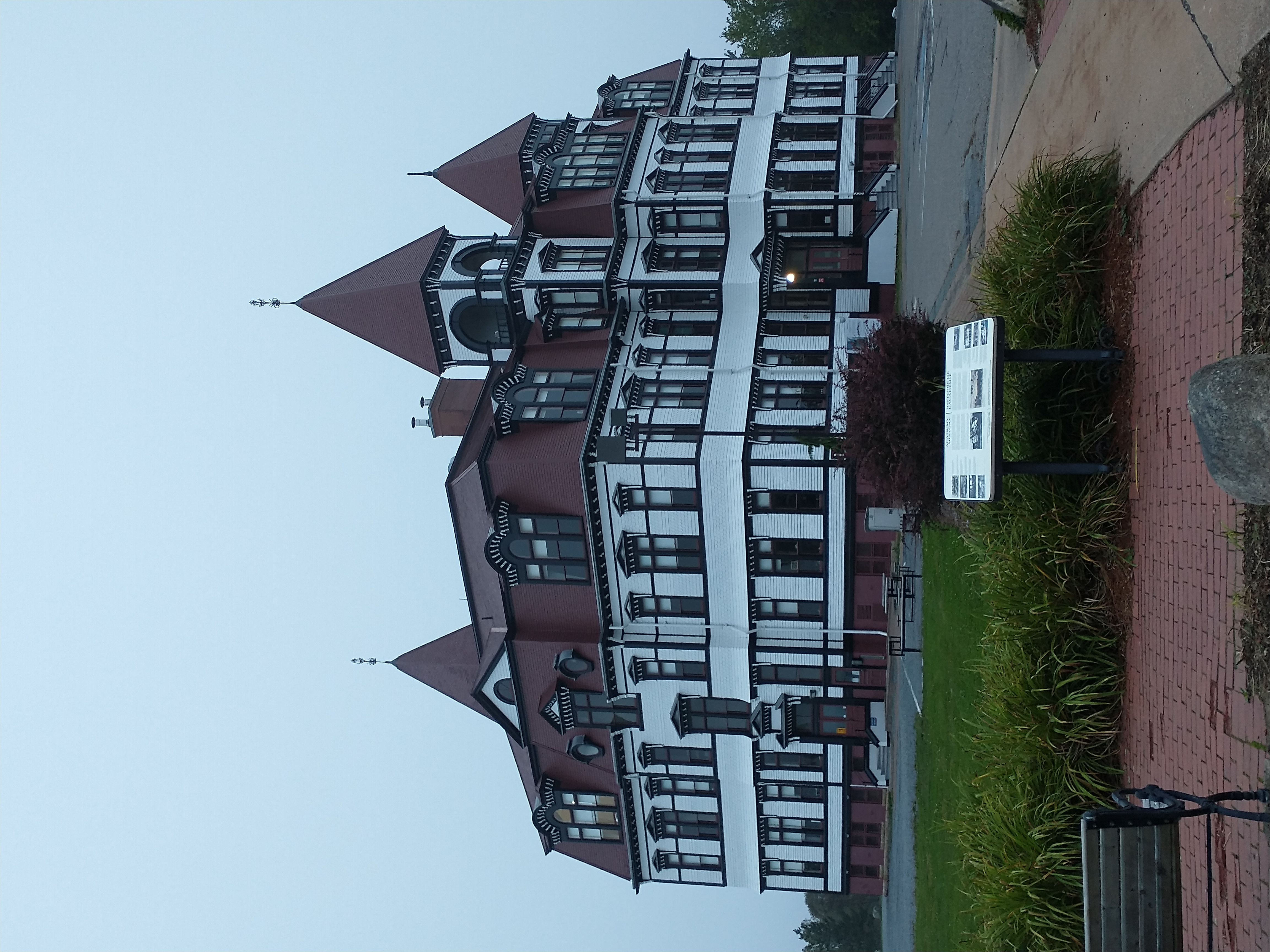
- Lunenberg Academy at the top of the hill. They have some great architecture. I also spent three hours at the Fisheries Museum of the Atlantic where I heard a great talk about the lobster fishering, including a very nuanced discussion of the current controversies on First Nation's rights to take lobster.
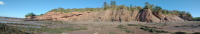
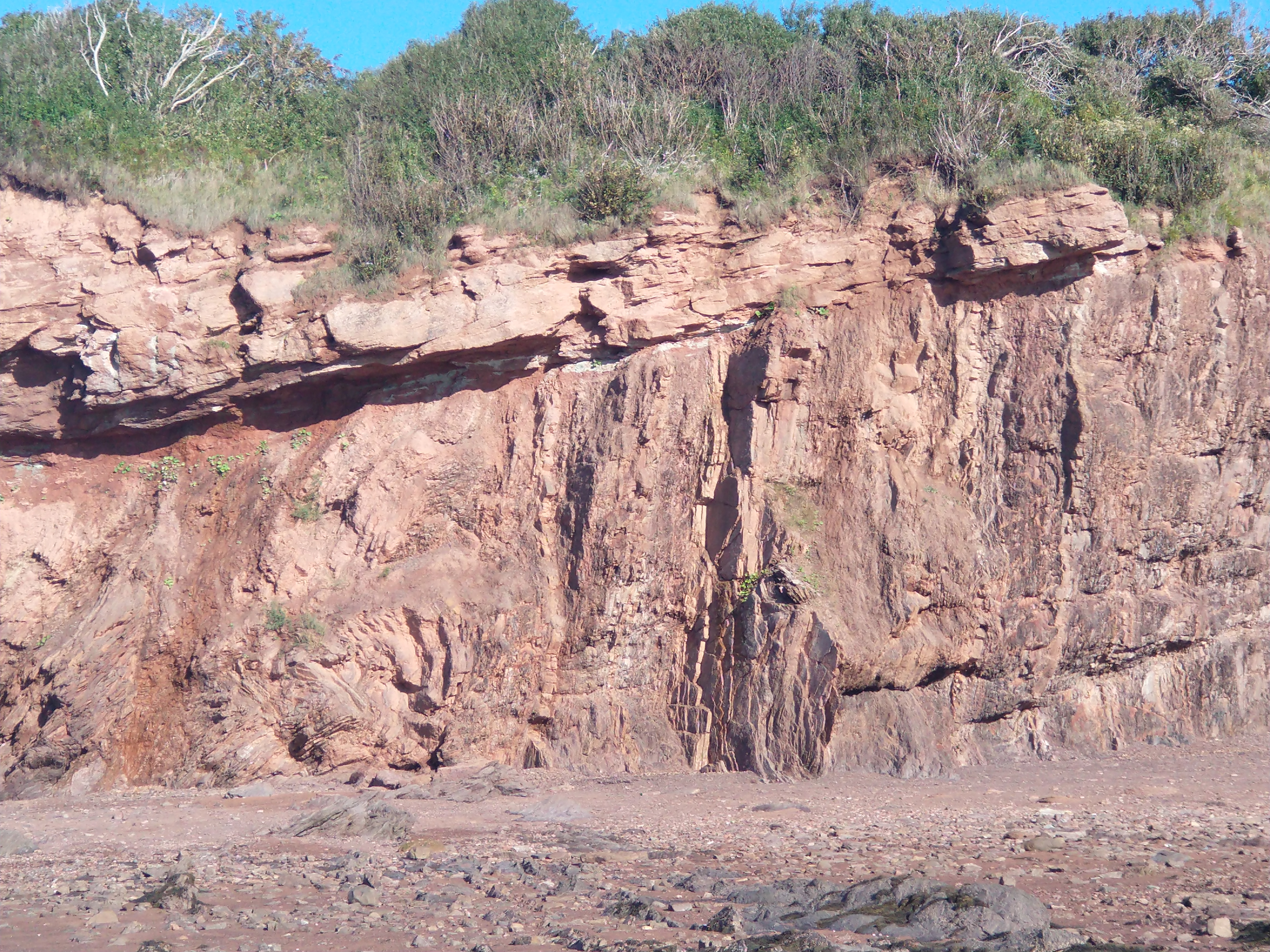
- Pembroke Beach (aka Rainy Cove) panorama, looking west. I timed this visit for low tide. The water is another 500 meters to the left (north). By high tide, all this will be under water. On the right, the cliff is steeply tilted Devonian mudstone and shale. On the left, almost-horizontal Triassic sandstone. These so-called angular discontinuities are where you see the awesome scale of geological time. The mudstone was laid down flat, then tilted, then eroded, and then more sandstone put down on top of that, with a gap of 130 million years. Geo

- close up of the discontinuity.
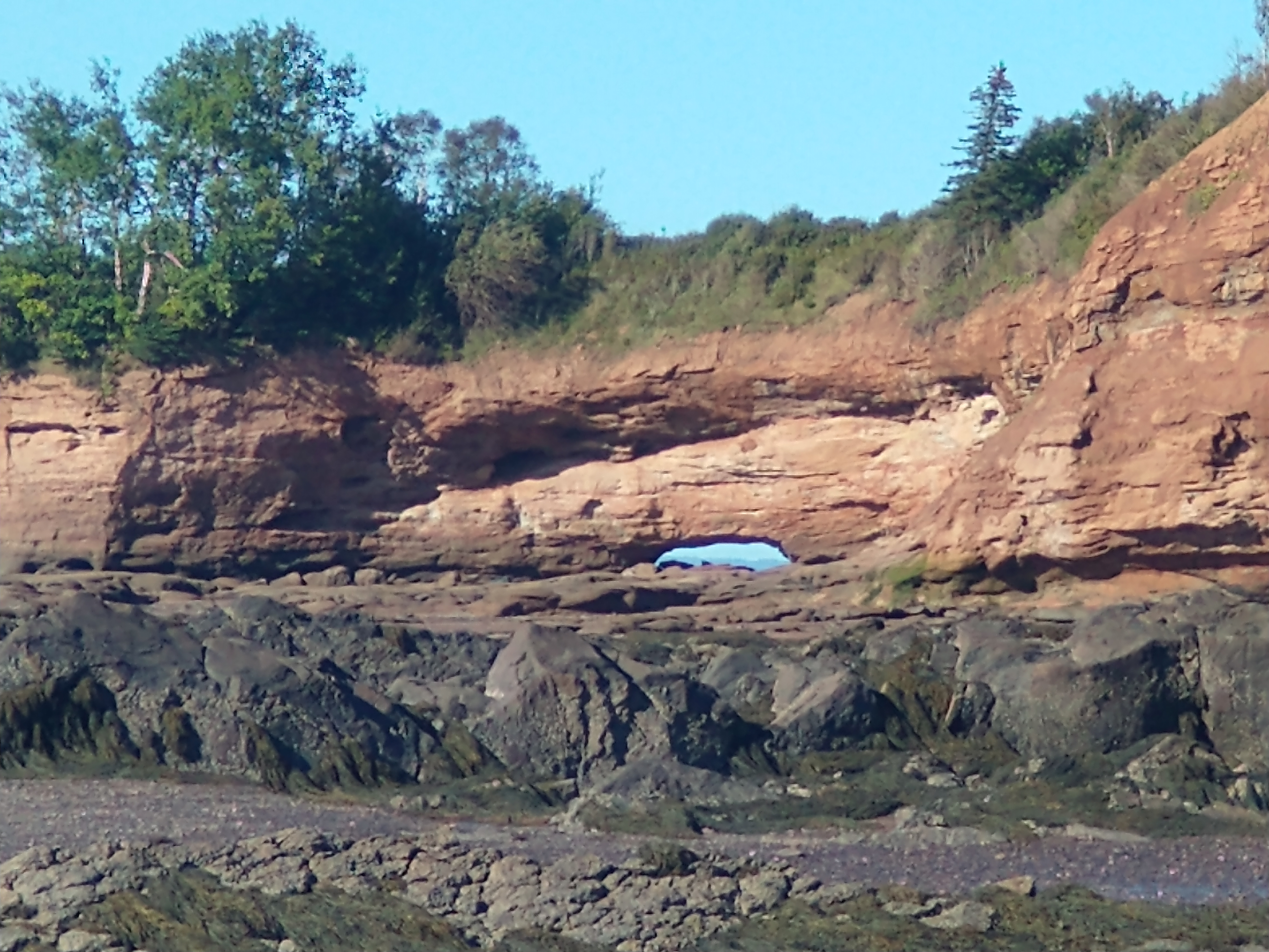
- arch in the sandstone at Pembroke Beach.
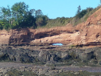
- Burntcoat Head, further down the bay. It's all sandstone. Like at Pembroke, it's nearly horizontal. This is the place with the highest tides in world.
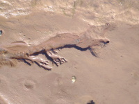
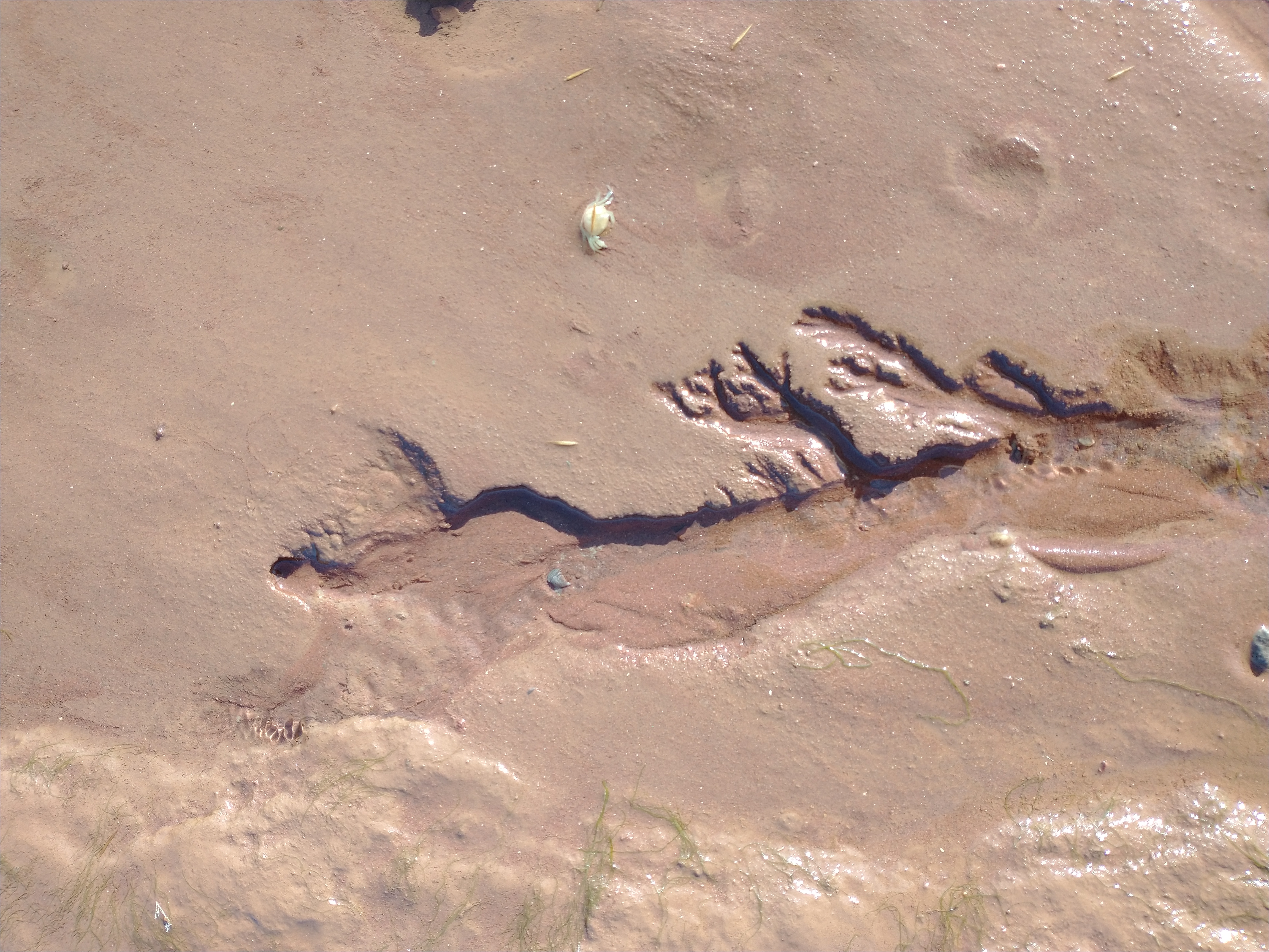
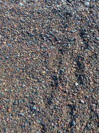
- factal drainage. This was at Burntcoat Head but it could be any sandy beach in the world.
Fundy Tides, Halls Harbour, Hampton Beach, Point Prim
The Bay of Fundy has the highest tides in the world, and when the high tide comes in it overwhelms the rivers, producing a tidal bore, a wave that runs upstream. I timed my visit to Truro to be on the full moon, which produces the highest tides, and I booked a boat ride with Fundy Tidal Bore Adventures. This is certainly the best way to see the bore as it crashes overs the sandbars of the river, and it's a very good way to see the geology of the land around the river, and there are many bald eagles to be seen, but the main point of it seems to be running the standing waves produced by the bore. You get thoroughly and completely drenched. I have no photos. I was told to not bring my phone and I am glad of it.
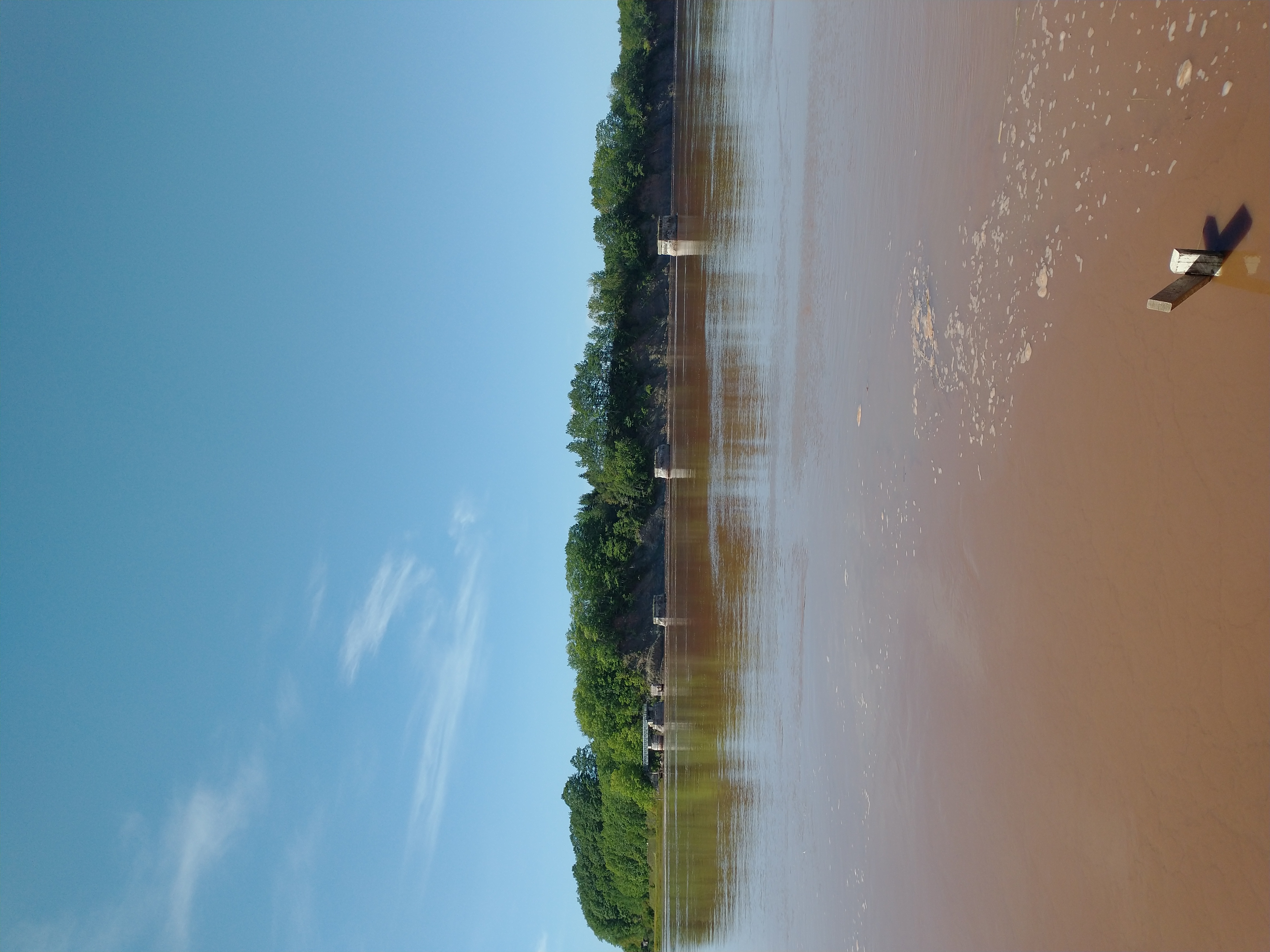
- Here's the river at low tide
- four hours later the tide has come in
After drying off, I visited the excellent Fundy Tidal Interpretive Centre which is small but full of information about the geology and history of the area.
The south side of the Bay of Fundy is lined by the South Mountain basalt, which erupted and flowed over the land as Pangea was breaking up, forming huge cliffs.
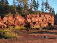
- Hall's Harbour
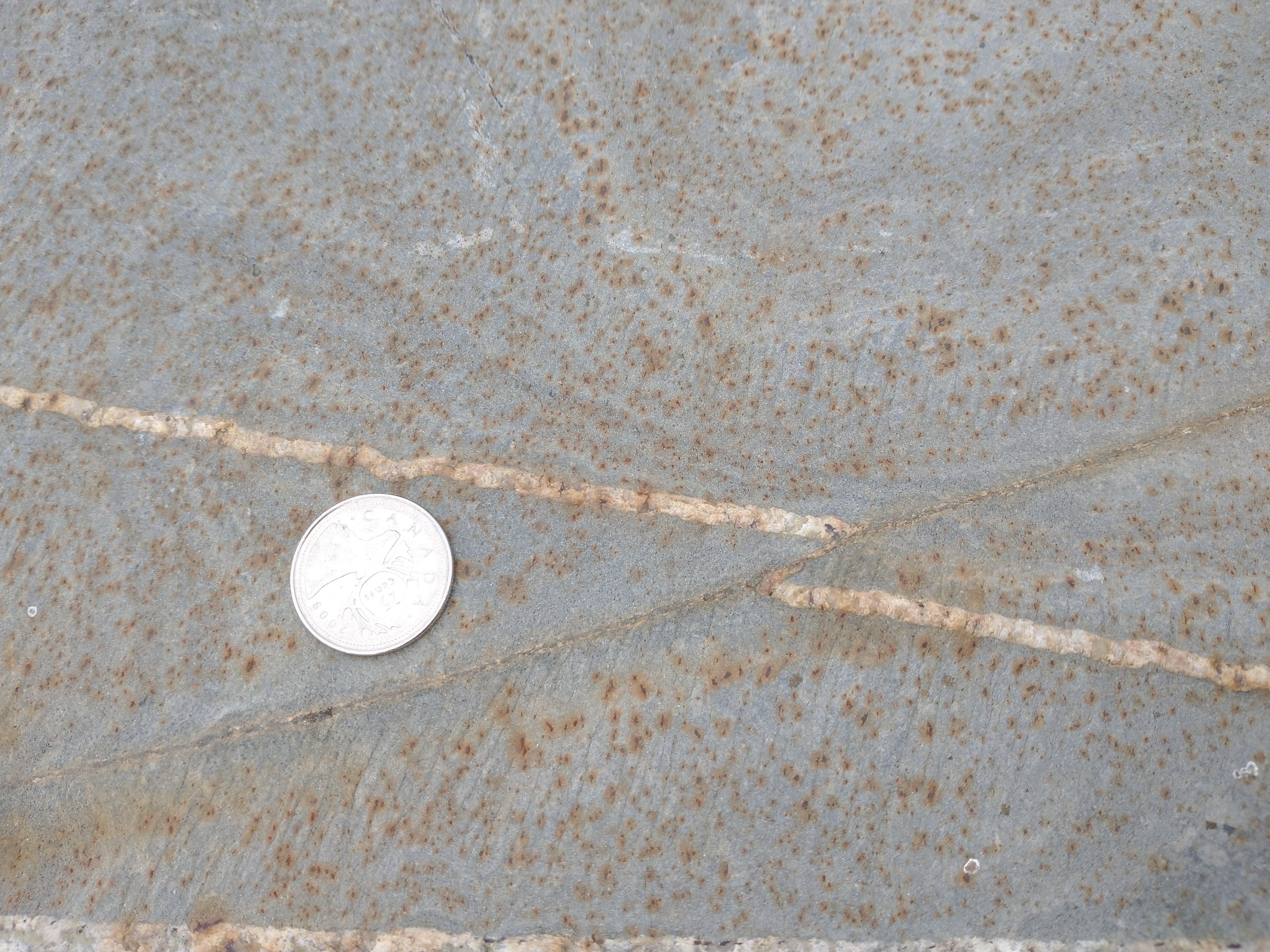
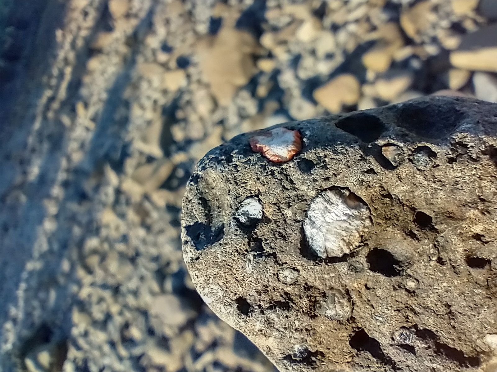
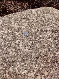
- Amygdales at Hall's Harbour. As per Hild and Barr, the lava was frothy and left voids later filled by other minerals.
- More amygdales
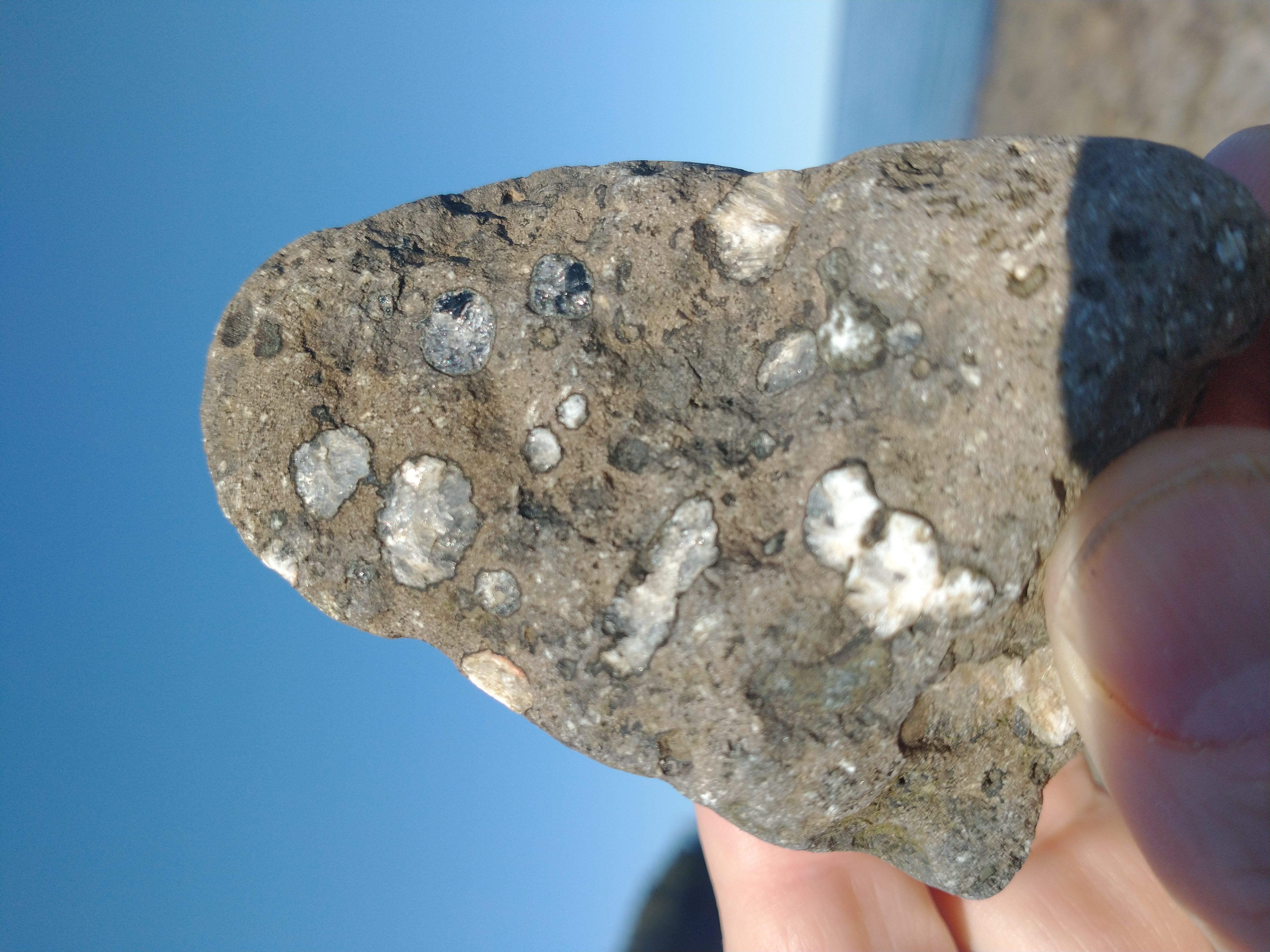
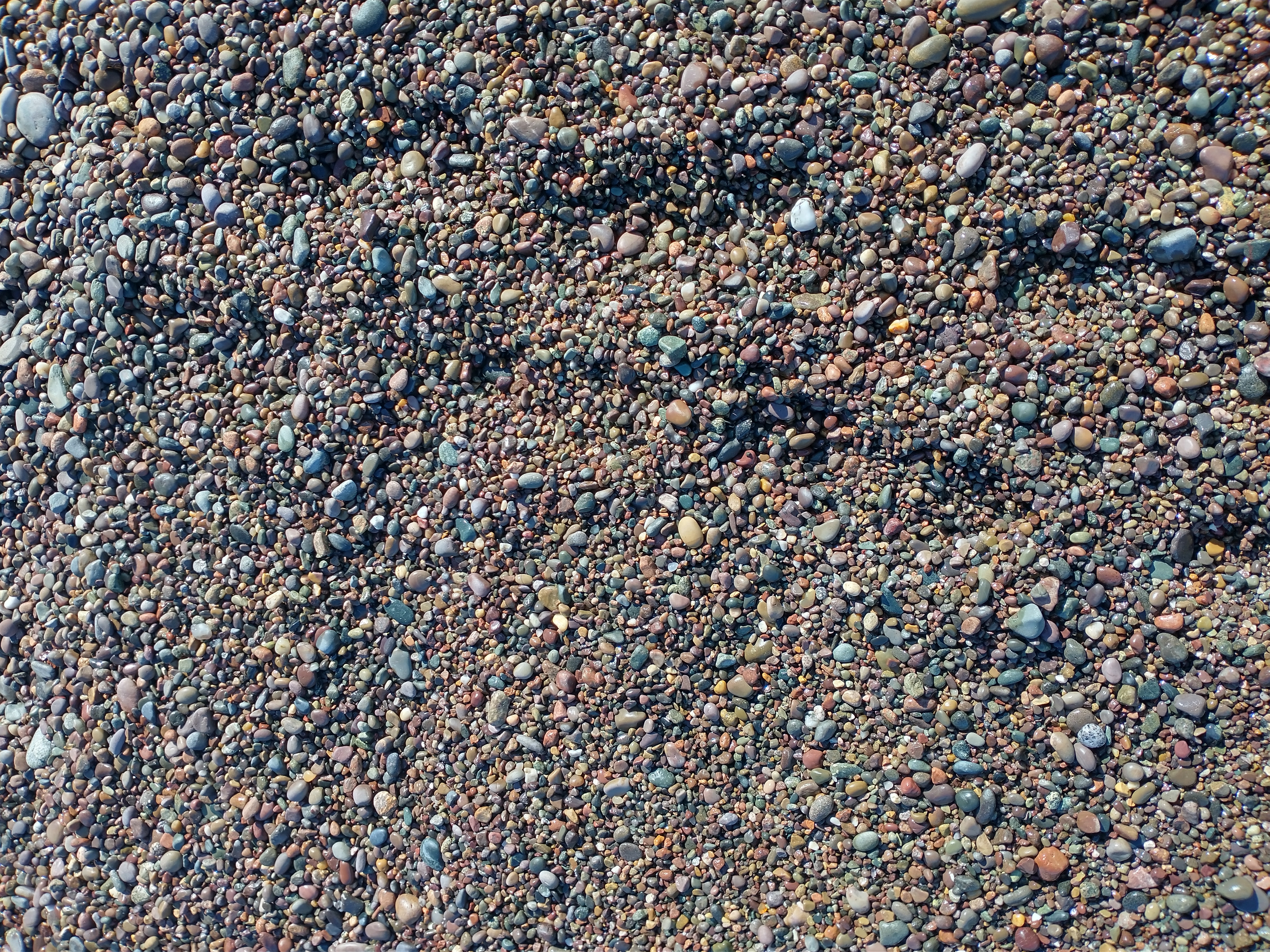
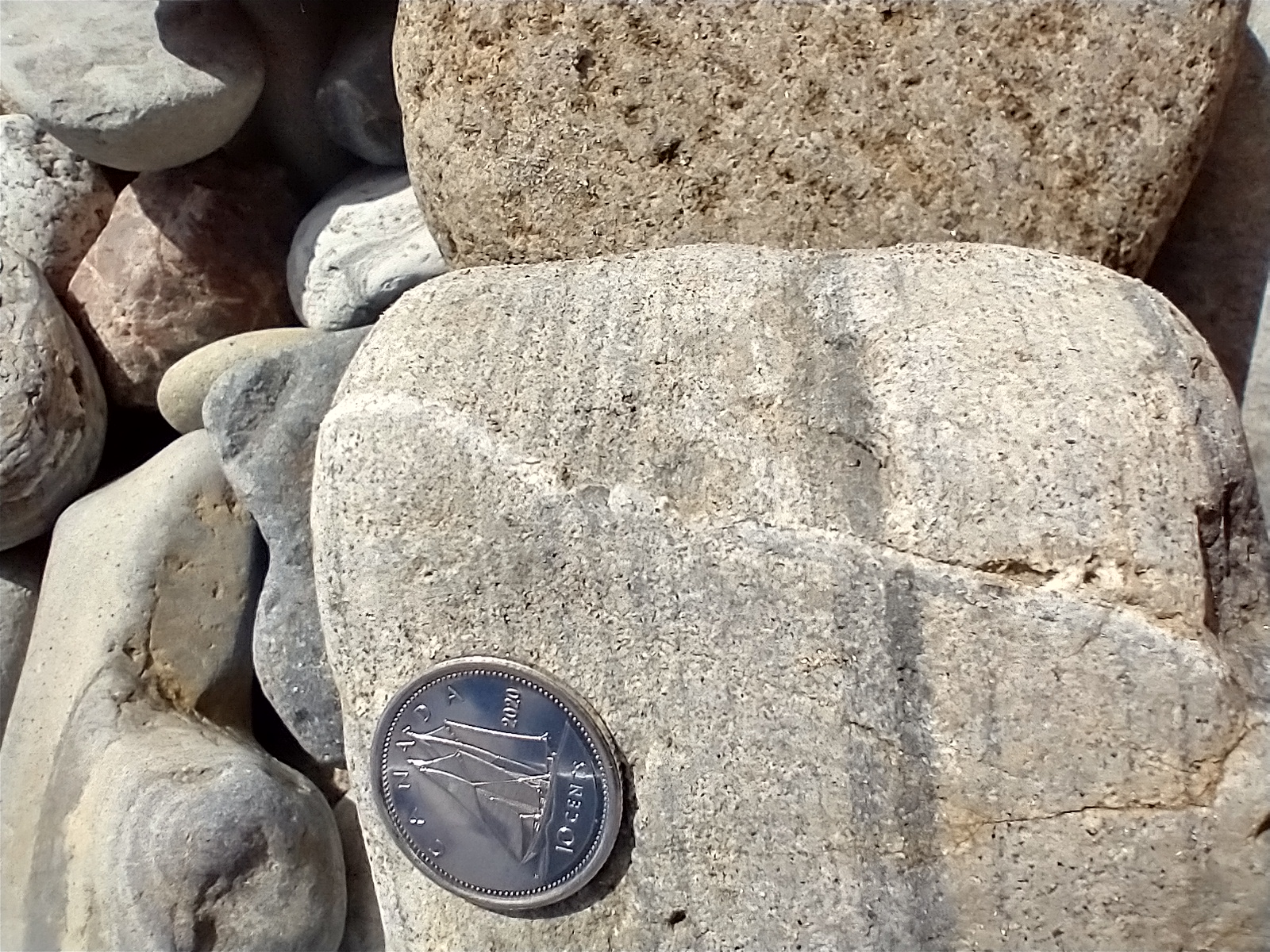
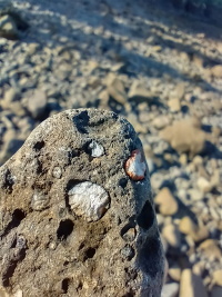
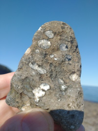
- Hampton's Beach is a great place for pebbles. Expand this picture and zoom in.

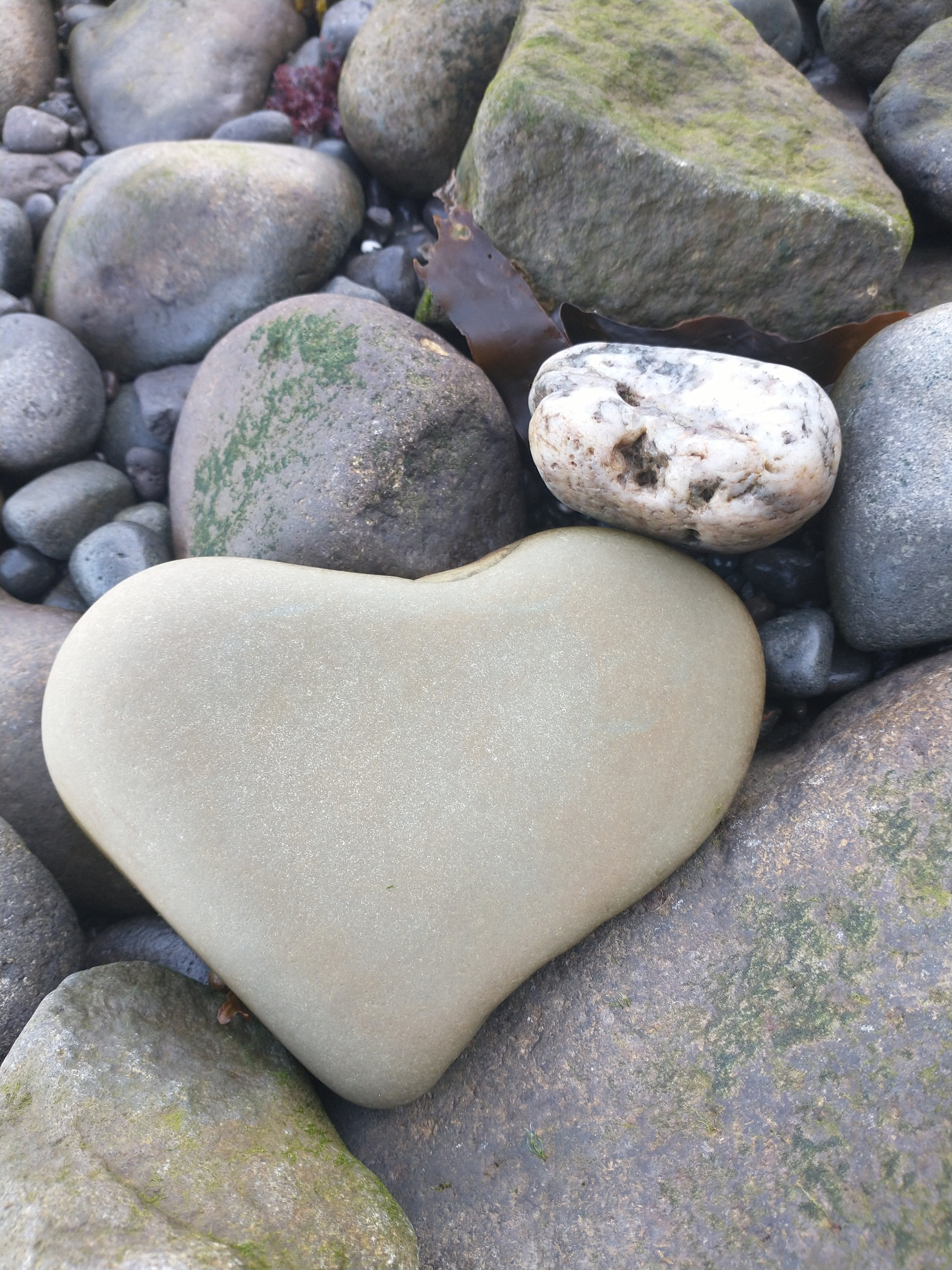
- I really like geology.
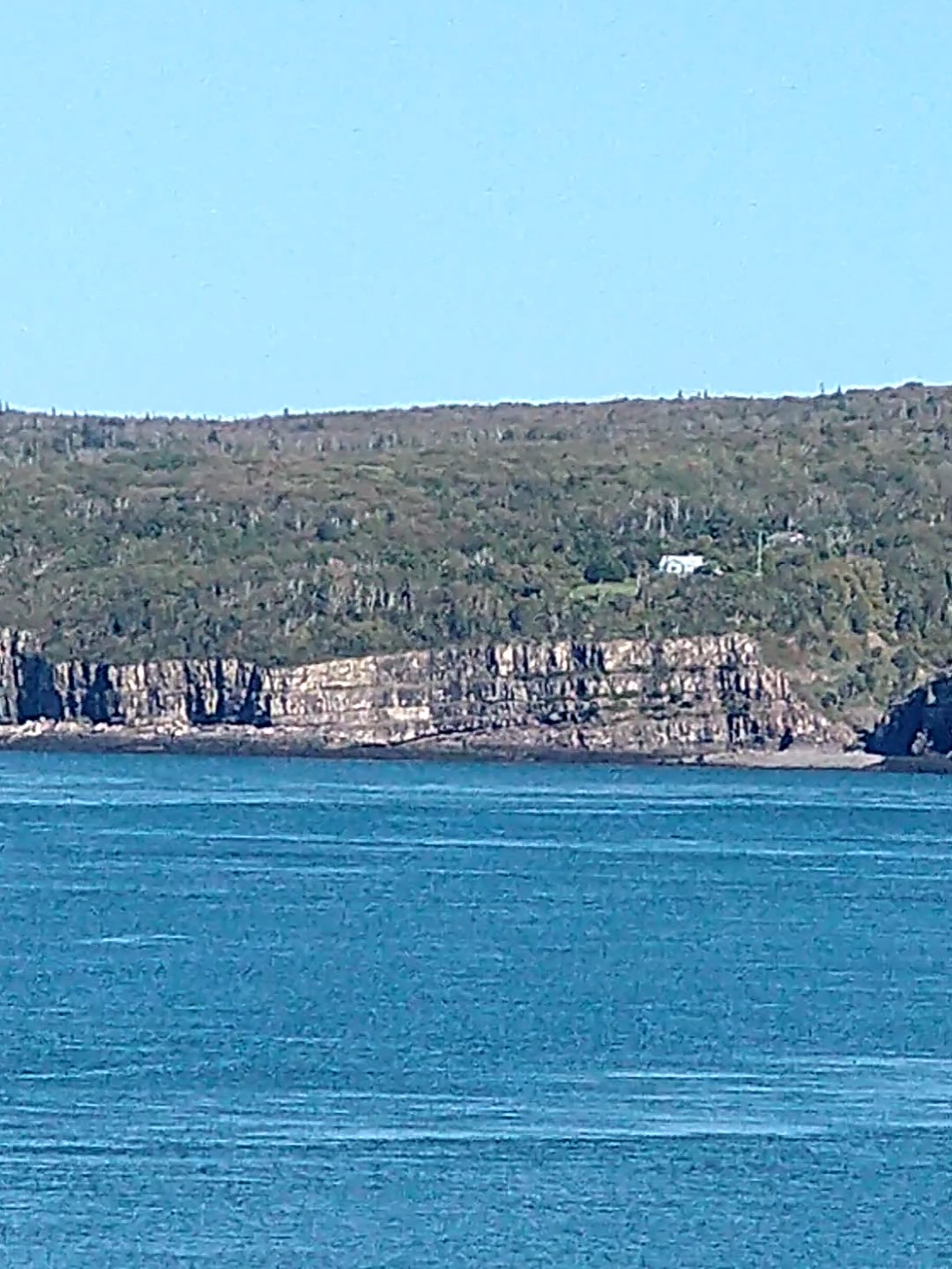
- Point Prim, near Digby. As the basalt cooled, it shrank and cracked, forming semi-regular geometrical columns.
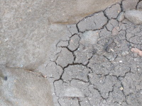
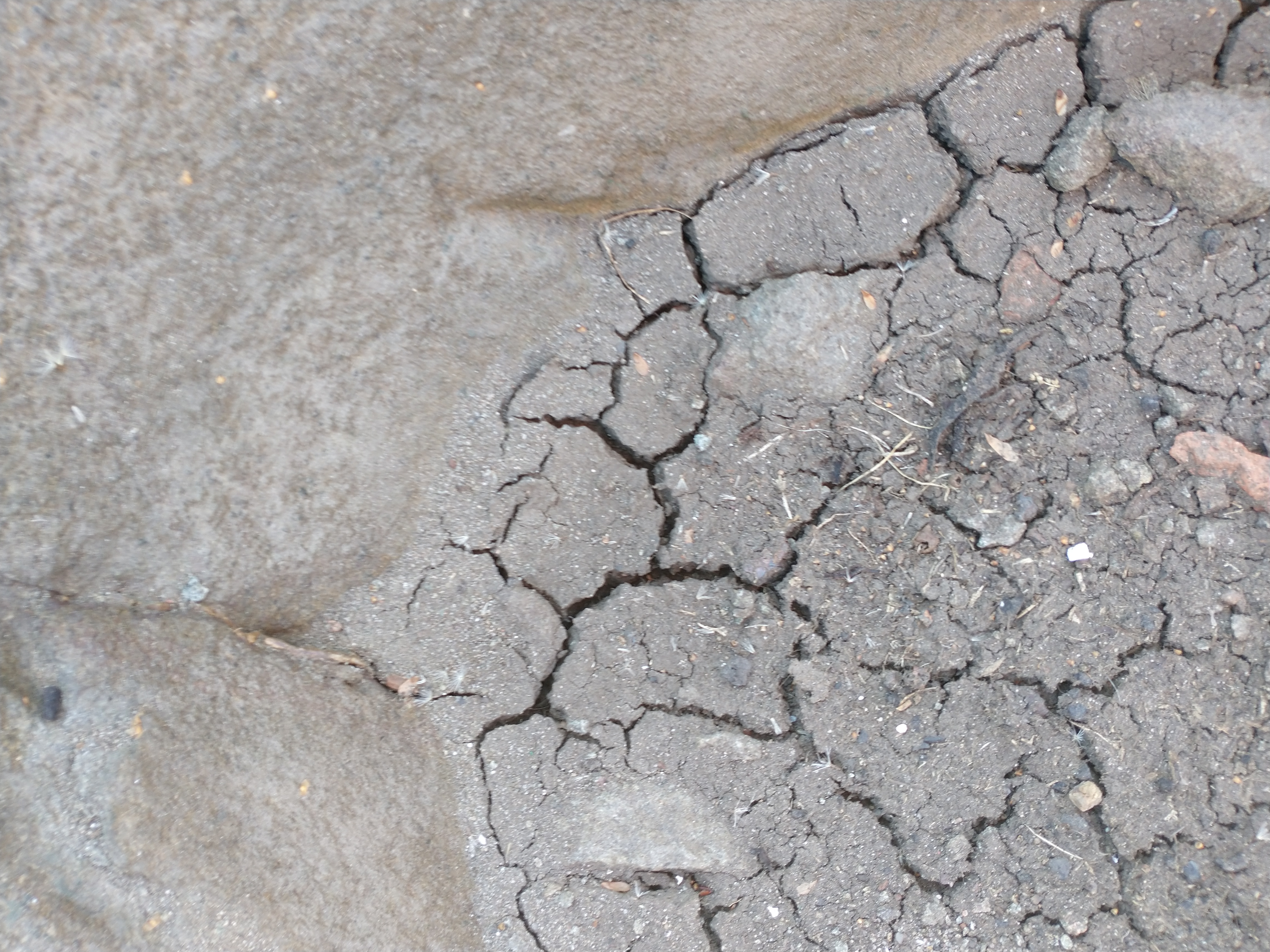
- here's the same process, in miniature, as tidal mud dries out.
- another microfault. Mavillette Beach
Around Yarmouth

- The Black Loyalist Heritage Centre tells the story of the Black people promised freedom in (the future) Canada in return for deserting the rebellious Americans. Their names are recorded in the "Book of Negroes".
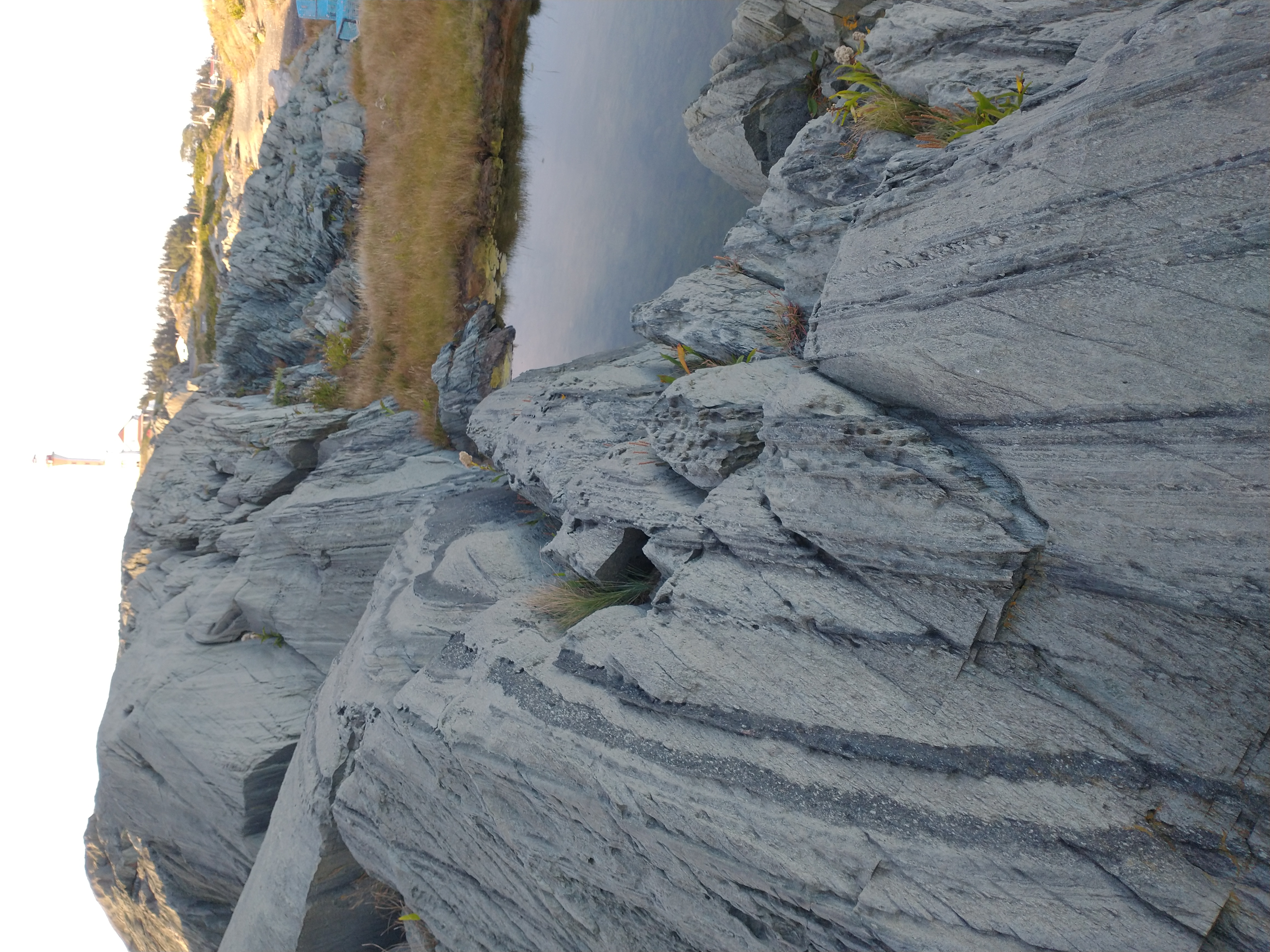
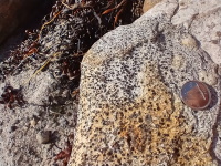
- Cape Forchu, near Yarmouth. Layers of volcanic ash fell here, and were later tilted.
- A "volcanic bomb" is lava that solidified in the air, then hit the ash, leaving a small depression in the ash layer.
- More bombs.
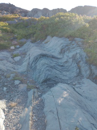
- Visible remanent of folding the ash.
- Cape Sr Marys

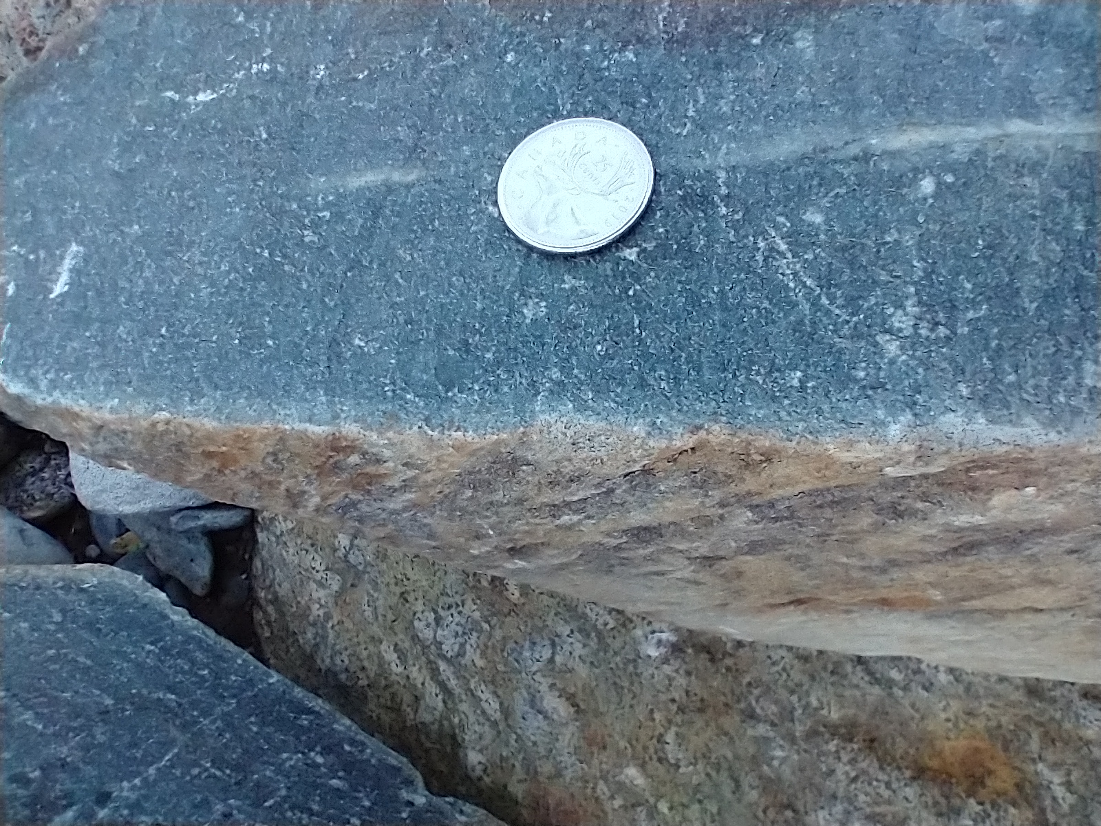
- contact between the metamorphosed mudstone and the volcanic ash
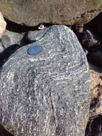
- Never judge a rock by its colour. This one split, and you can see how different the inside colour is from the outside.
- Sandy Point
- This rock got so hot that parts of it melted, forming these white stripes.
Goodbye Nova Scotia
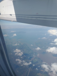
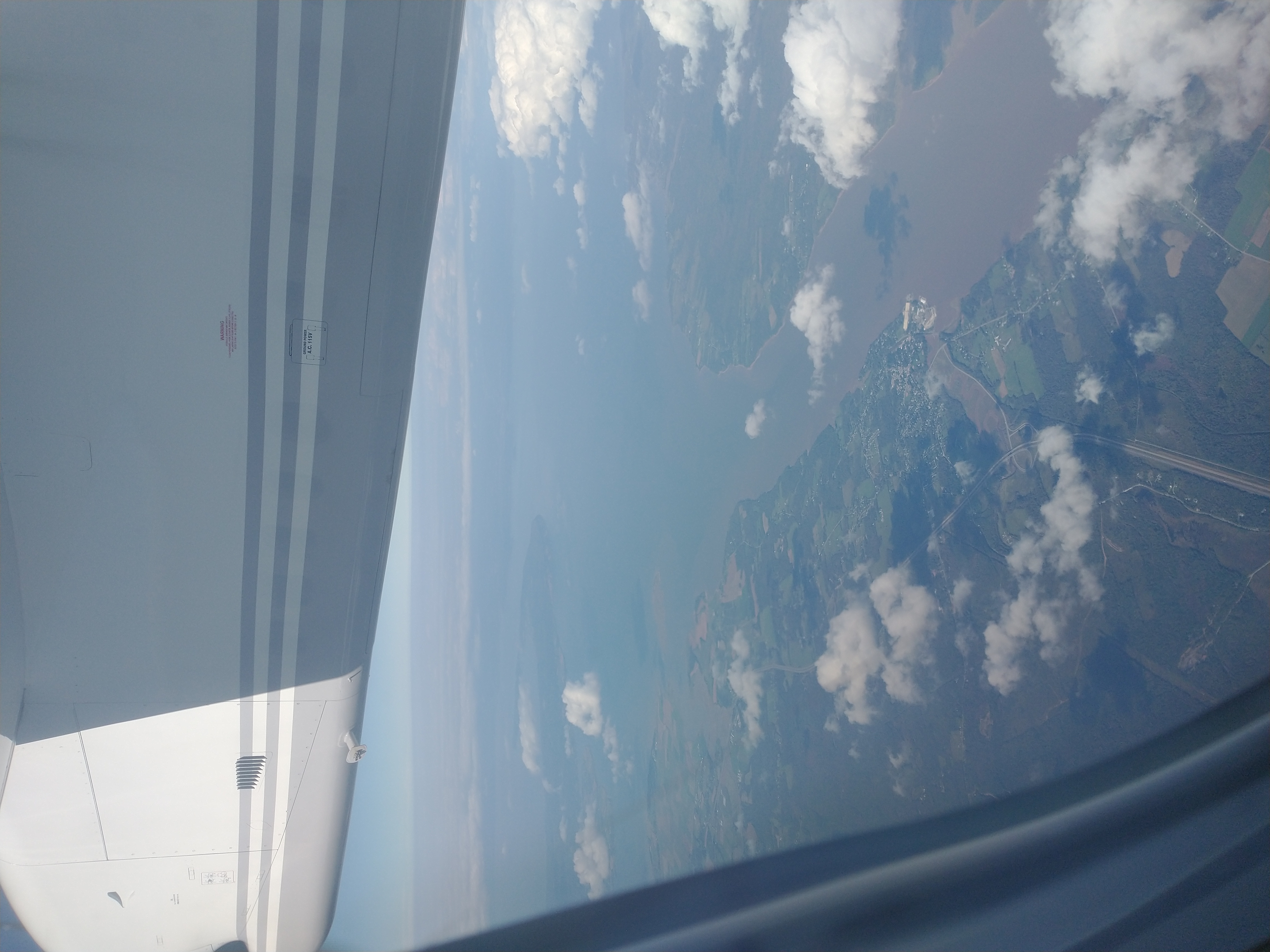
- My final view of Nova Scotia from the air. That's Cape Minas sticking out into the Bay of Fundy